Indiana Social Studies 3.G.6
The Standard
Compare and contrast the physical characteristics of Indiana to neighboring states using words, illustrations, maps, photographs, and other resources.
2026 Indiana Academic Standards: K-12 Social Studies
Teacher's field guide
What This Standard Means
What Students Need to Do
- Students use maps and photos to compare Indiana with nearby states. They name physical features the states share and describe differences in land and water. They point to evidence for each comparison.
What Mastery Looks Like
- A student can show that Indiana and Michigan both touch Lake Michigan, but Michigan has much more lakeshore. They can use a relief map to compare central Indiana's plains with Kentucky's hills.
Common Misconceptions
- Students may think all of Indiana is flat and miss its southern hills. They may think only Michigan touches Lake Michigan. Some assume every state boundary follows a river.
How to Assess It
- Give students a relief map of Indiana, Michigan, and Kentucky. Ask them to mark one shared water feature and write one landform difference, naming the states and pointing to map evidence.
Lesson moves
Ways to Teach It
Give pairs printed maps and blue string to trace Indiana's Lake Michigan shore and Ohio River border, then compare them with Michigan and Kentucky.
Show photos of central Indiana fields and Kentucky hills, then ask, 'What difference do you see, and where is it on a relief map?'
Play map match: give teams cards labeled Lake Michigan, Ohio River, plains, and hills to place on maps of Indiana and its neighbors.
Plan a drive from Indianapolis to Louisville on a road map, mark the Ohio River crossing, and check nearby terrain on a relief map.
Free download
Printable 3.G.6 Worksheet
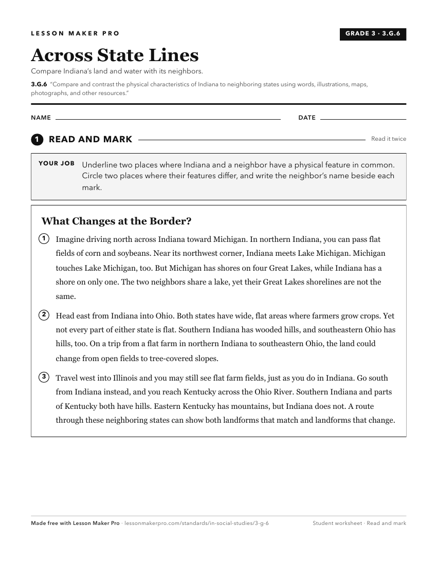
A ready-to-print activity worksheet aligned to 3.G.6, with an answer key for the teacher on its own page. No account needed.
PDF, US Letter, prints cleanly in black and white.
Download the worksheetKeep exploring
Related Standards
- IS.3.2
Map and describe the physical regions of Indiana and identify major natural resources and land use regions.
- 4.G.3
Map and describe the physical regions of Indiana and identify major natural resources and agricultural/crop regions.
- IS.3.7
Examine Indiana’s relationships with states, countries, and world regions and understand the significance of these relationships to Indiana’s past, present, and...
- 3.G.5
Explain that regions are areas that have similar physical and cultural characteristics. Identify Indiana and the local community as part of a specific region.
Turn this exact standard into a lesson
Grade, subject, topic, and the complete standard are prefilled. Create one free, no account needed.
Also for this standard:Make a WorksheetMake a QuizMake a Sub Lesson