Indiana Social Studies 4.G.3
The Standard
Map and describe the physical regions of Indiana and identify major natural resources and agricultural/crop regions.
2026 Indiana Academic Standards: K-12 Social Studies
Teacher's field guide
What This Standard Means
What Students Need to Do
- Students locate Indiana’s northern lake country, central plains, and southern hills on a map. They describe the land in each area and mark where resources and major crops are found.
What Mastery Looks Like
- A student labels the three areas in the right places and describes how each looks. They place corn and soybeans in the central plains and limestone in the south, with a map key that explains their symbols.
Common Misconceptions
- Students may draw hills across the whole state or put the lake region in the south. They may treat corn as a natural resource rather than a crop people grow.
How to Assess It
- Give students a blank Indiana map. Ask them to mark the northern lakes, central plains, southern hills, one crop region, and one natural resource, then explain their map key.
Lesson moves
Ways to Teach It
Give pairs a blank Indiana outline and modeling clay; have them shape northern lakes, central plains, and southern hills, then add paper labels.
Show photos of a northern lake, a central cornfield, and a southern limestone quarry; ask students what each photo tells them about the land.
Hand out cards showing lakes, flat farmland, hills, corn, soybeans, and limestone; students race to place each on a blank Indiana map.
Find a photo of an Indiana limestone building and ask students to trace its stone back to the southern hills on a map.
Free download
Printable 4.G.3 Worksheet
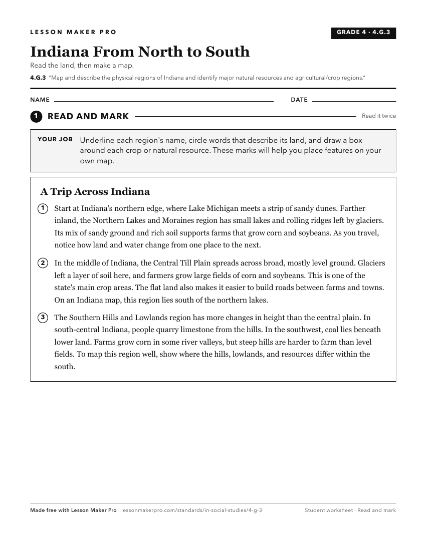
A ready-to-print activity worksheet aligned to 4.G.3, with an answer key for the teacher on its own page. No account needed.
PDF, US Letter, prints cleanly in black and white.
Download the worksheetKeep exploring
Related Standards
- IS.3.2
Map and describe the physical regions of Indiana and identify major natural resources and land use regions.
- 3.G.6
Compare and contrast the physical characteristics of Indiana to neighboring states using words, illustrations, maps, photographs, and other resources.
- 3.G.5
Explain that regions are areas that have similar physical and cultural characteristics. Identify Indiana and the local community as part of a specific region.
- 4.G.2
Locate Indiana on a map as one of the 50 United States. Identify and describe the location of the state capital, major cities, and rivers in Indiana.
Turn this exact standard into a lesson
Grade, subject, topic, and the complete standard are prefilled. Create one free, no account needed.
Also for this standard:Make a WorksheetMake a QuizMake a Sub Lesson