Indiana Social Studies WG.1.5
The Standard
Ask geographic questions and obtain answers from a variety of sources, such as books, atlases and other written materials; statistical source material; fieldwork and interviews; remote sensing; and GIS. Reach conclusions and provide oral, written, graphic, and cartographic expressions of conclusions.
2026 Indiana Academic Standards: K-12 Social Studies
Teacher's field guide
What This Standard Means
What Students Need to Do
- Students ask a question about where something happens and why. They use maps, data, observations, or interviews to find an answer. They share a conclusion in words, a chart, or a map.
What Mastery Looks Like
- A student asks which bus stops have the least shade, then checks a route map, satellite image, and observations. They mark the stops on a map and explain their conclusion with evidence from more than one source.
Common Misconceptions
- Students may mistake a map's darkest color for the hottest place when the legend actually shows tree cover. They may compare temperatures measured at different times or treat one interview as proof for an entire neighborhood.
How to Assess It
- Give students a tree-cover map and an afternoon temperature table for four blocks. Have them write one geographic question, identify the hottest block, and support their answer with both sources.
Lesson moves
Ways to Teach It
Take two thermometers outside, record sun and shade temperatures at the same time, then plot both readings on a campus map.
Show a tree-cover map and temperature table; ask, 'Which block needs shade most, and what evidence from each source supports your answer?'
Give teams tree-cover, temperature, and interview cards; have them sort which sources answer, 'Where should we test for heat next?'
Use a bus route map and satellite image to pick one stop for a shade shelter; mark it and explain the choice.
Free download
Printable WG.1.5 Worksheet
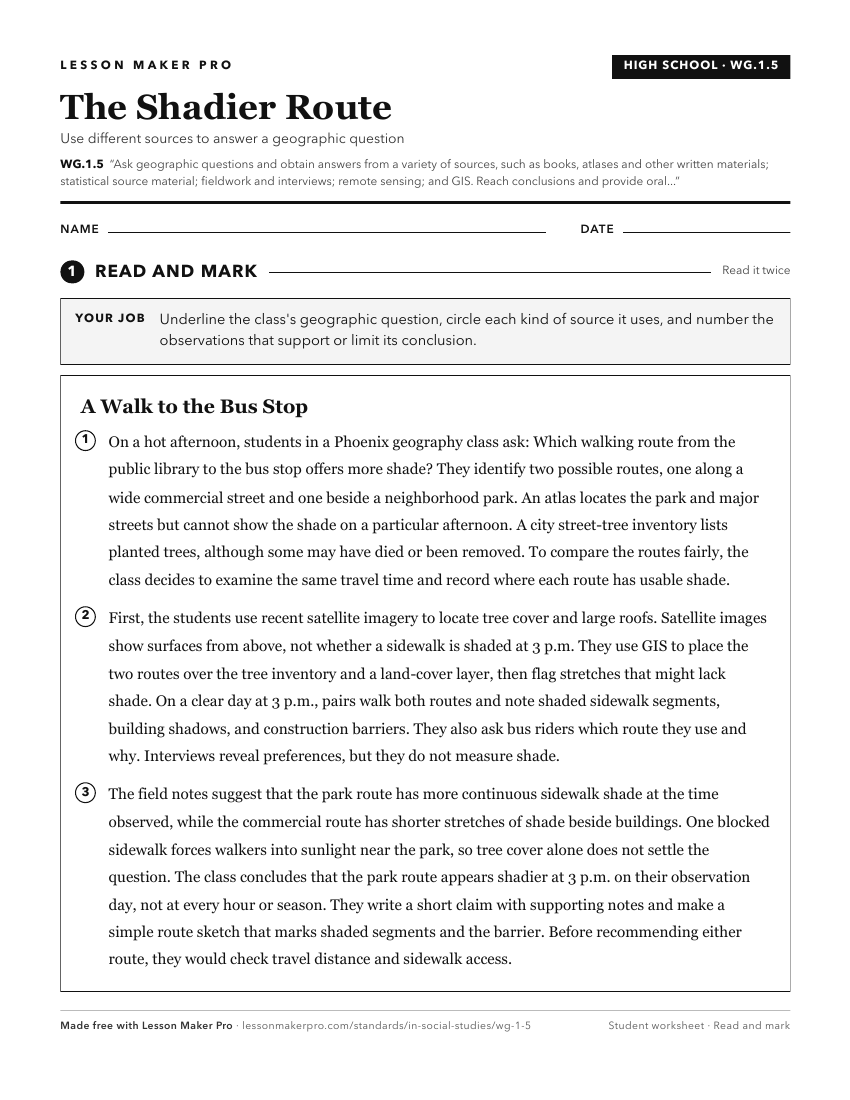
A ready-to-print activity worksheet aligned to WG.1.5, with an answer key for the teacher on its own page. No account needed.
PDF, US Letter, prints cleanly in black and white.
Download the worksheetKeep exploring
Related Standards
- WG.1.1
Use locational technology such as longitude, latitude, and remote sensing, Global Positioning Systems (GPS) and Geographic Information Systems (GIS), to establi...
- GHW.10.2
Use a variety of data, such as atlases, written materials, and statistical source materials to identify countries of the world that are true nation-states, and ...
- GHW.5.1
Ask and answer geographic and historic questions about the origin and growth of towns, cities, and metropolitan areas in different regions of the world and in d...
- IS.3.8
Read and interpret texts (written, graphs, maps, imagery, timelines) to answer geographic questions about Indiana in the past and present and to plan for Indian...
Turn this exact standard into a lesson
Grade, subject, topic, and the complete standard are prefilled. Create one free, no account needed.
Also for this standard:Make a WorksheetMake a QuizMake a Sub Lesson