Indiana Social Studies 3.G.1
The Standard
Use labels and symbols to locate and identify physical and political features on maps and globes.
2026 Indiana Academic Standards: K-12 Social Studies
Teacher's field guide
What This Standard Means
What Students Need to Do
- Students use labels and map keys to find places on maps and globes. They tell natural features, such as rivers and mountains, from cities, states, and countries.
What Mastery Looks Like
- Given a map, a student can find a named river, mountain range, city, and state. They can explain which label or symbol helped and locate a named country on a globe.
Common Misconceptions
- Students may mistake a state border for a river because both appear as lines. They may think a capital star marks an entire state rather than one city.
How to Assess It
- Give students a labeled U.S. map and ask: “Circle the Mississippi River, underline Indiana, and box Indianapolis. Which is physical, and which are political?” Then have each student point to the United States on a classroom globe.
Lesson moves
Ways to Teach It
Pairs use a labeled U.S. map to mark Indiana and the Mississippi River on a blank map, with a key for borders and rivers.
Show a river and a state border on a map; ask, “Which line marks a place people named, and how can you tell?”
Call out “Pacific Ocean” or “Canada”; teams find each on a classroom globe and say whether it is physical or political.
Hand out a state road map; students use its key to find a river and a city they could pass on a trip.
Free download
Printable 3.G.1 Worksheet
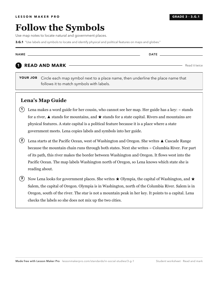
A ready-to-print activity worksheet aligned to 3.G.1, with an answer key for the teacher on its own page. No account needed.
PDF, US Letter, prints cleanly in black and white.
Download the worksheetKeep exploring
Related Standards
- 5.G.2
Use maps and globes to locate states, capitals, major cities, major rivers, the Great Lakes, and mountain ranges in the United States.
- 2.G.6
Identify and describe cultural or man-made features on a map using map symbols.
- K.G.4
Identify maps and globes as tools that represent the Earth and identify and describe differences between land and water.
- 1.G.2
Identify and describe continents, hemispheres, oceans, cities, and roads on maps and globes.
Turn this exact standard into a lesson
Grade, subject, topic, and the complete standard are prefilled. Create one free, no account needed.
Also for this standard:Make a WorksheetMake a QuizMake a Sub Lesson