Indiana Social Studies 1.G.2
The Standard
Identify and describe continents, hemispheres, oceans, cities, and roads on maps and globes.
2026 Indiana Academic Standards: K-12 Social Studies
Teacher's field guide
What This Standard Means
What Students Need to Do
- Students find continents and oceans on a map and globe. They point to the Northern and Southern Hemispheres. On a street map, they find a city and a road and tell how the road connects places.
What Mastery Looks Like
- A student can point to a named continent, ocean, hemisphere, city, and road on the right map. They can explain that the Equator separates the Northern and Southern Hemispheres and that roads connect places.
Common Misconceptions
- Students may mistake a city dot for a road or think the Equator is a road. They may confuse a continent with a hemisphere because both cover large areas of a globe.
How to Assess It
- Give students a labeled world map and a street map. Ask them to circle a continent, underline an ocean, shade the Northern Hemisphere, and mark a city and a road leading to it.
Lesson moves
Ways to Teach It
Wrap yarn around a globe at the Equator, then place sticky notes on a continent, an ocean, and each hemisphere.
Point to Africa on a globe and ask, 'How can this continent be in both the Northern and Southern Hemispheres?'
Call out 'Pacific Ocean,' 'Africa,' 'Oak Street,' and 'Lima' while students cover the matching ocean, continent, road, or city squares on bingo cards.
Use a local map to find the nearest city and trace a road from your school toward it.
Free download
Printable 1.G.2 Worksheet
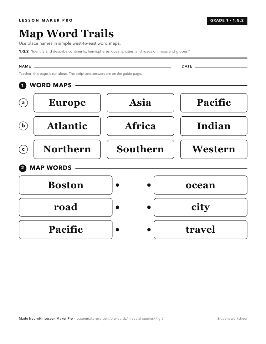
A ready-to-print activity worksheet aligned to 1.G.2, with an answer key for the teacher on its own page. No account needed.
PDF, US Letter, prints cleanly in black and white.
Download the worksheetKeep exploring
Related Standards
- 2.G.2
Locate the equator, the poles, continents, and hemispheres on a world map and on a globe; identify the local community, city, Indiana, the United States, and No...
- K.G.4
Identify maps and globes as tools that represent the Earth and identify and describe differences between land and water.
- 3.G.4
Identify the northern, southern, eastern, and western hemispheres; cardinal and intermediate directions; and determine the direction and distance from one place...
- 3.G.1
Use labels and symbols to locate and identify physical and political features on maps and globes.
Turn this exact standard into a lesson
Grade, subject, topic, and the complete standard are prefilled. Create one free, no account needed.
Also for this standard:Make a WorksheetMake a QuizMake a Sub Lesson