Indiana Social Studies 2.G.6
The Standard
Identify and describe cultural or man-made features on a map using map symbols.
2026 Indiana Academic Standards: K-12 Social Studies
Teacher's field guide
What This Standard Means
What Students Need to Do
- Students use a map key to identify symbols for places and structures people made, such as schools, roads, and bridges. They find those features on a map and describe where they are.
What Mastery Looks Like
- Given a town map, a student uses the key to find a school and a bridge. They name each feature and describe its location using nearby places or landmarks.
Common Misconceptions
- Students may think a symbol shows the actual size or shape of a building. They may also confuse a bridge symbol with the river it crosses, or call the river a feature people made.
How to Assess It
- Give students a town map with a key for a school, bridge, road, and river. Ask them to circle two features people made, name them, and describe where one is.
Lesson moves
Ways to Teach It
Give pairs a town map with a river and roads; have them add school and bridge stickers, then make a key for the stickers.
Show a town map and ask, "How does the key help you tell the bridge symbol from the river symbol?"
Make cards with map symbols and feature names; have students match them, then sort roads and bridges from rivers and lakes.
Print a neighborhood map; have students mark a familiar school with a symbol and add that symbol to a key for visitors.
Free download
Printable 2.G.6 Worksheet
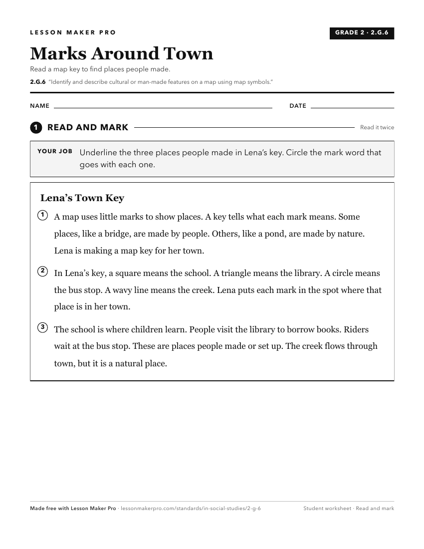
A ready-to-print activity worksheet aligned to 2.G.6, with an answer key for the teacher on its own page. No account needed.
PDF, US Letter, prints cleanly in black and white.
Download the worksheetKeep exploring
Related Standards
- GHW.1.1
Use maps, timelines, and other graphic representations to identify and describe the location, distribution, and main events in the development of culture hearth...
- K.G.4
Identify maps and globes as tools that represent the Earth and identify and describe differences between land and water.
- 3.G.1
Use labels and symbols to locate and identify physical and political features on maps and globes.
- 1.G.2
Identify and describe continents, hemispheres, oceans, cities, and roads on maps and globes.
Turn this exact standard into a lesson
Grade, subject, topic, and the complete standard are prefilled. Create one free, no account needed.
Also for this standard:Make a WorksheetMake a QuizMake a Sub Lesson