Indiana Social Studies 5.G.2
The Standard
Use maps and globes to locate states, capitals, major cities, major rivers, the Great Lakes, and mountain ranges in the United States.
2026 Indiana Academic Standards: K-12 Social Studies
Teacher's field guide
What This Standard Means
What Students Need to Do
- Students use maps and globes to find U.S. states, capitals, and major cities. They also locate major rivers, the Great Lakes, and mountain ranges.
What Mastery Looks Like
- On a blank U.S. map, students can label places in the right locations. They can match capitals to states and use a map key to check rivers, lakes, and mountains.
Common Misconceptions
- Students may name a state's largest city as its capital, such as New York City instead of Albany. They may mix up Lake Michigan and Lake Superior or place the Rocky Mountains on the East Coast.
How to Assess It
- On a blank U.S. map, label Colorado, its capital Denver, Chicago, the Mississippi River, Lake Michigan, and the Rocky Mountains.
Lesson moves
Ways to Teach It
Using an atlas, pairs place sticky labels on a wall map for four states, their capitals, two rivers, two lakes, and two mountain ranges.
Have students write two sentences comparing what a physical map and a political map show about Colorado and the Rocky Mountains.
Call out place names while students point to each location on a blank map; award a point for each accurate find.
Give students a road map for a Denver-to-Chicago trip; have them find Colorado, Illinois, Lake Michigan, and the Mississippi River.
Free download
Printable 5.G.2 Worksheet
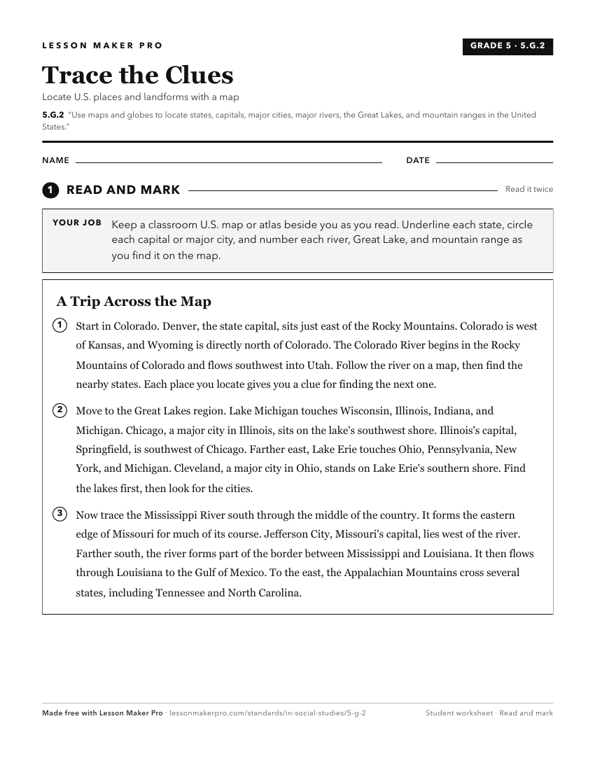
A ready-to-print activity worksheet aligned to 5.G.2, with an answer key for the teacher on its own page. No account needed.
PDF, US Letter, prints cleanly in black and white.
Download the worksheetKeep exploring
Related Standards
- 3.G.2
Label a map of the Midwest, identifying states, major rivers, lakes, and the Great Lakes.
- 5.G.4
Use maps to describe the characteristics of climate regions of the United States.
- 8.G.2
Identify the major mountain ranges and river systems of the United States and explain the importance of these physical features in the development of America.
- 1.G.2
Identify and describe continents, hemispheres, oceans, cities, and roads on maps and globes.
Turn this exact standard into a lesson
Grade, subject, topic, and the complete standard are prefilled. Create one free, no account needed.
Also for this standard:Make a WorksheetMake a QuizMake a Sub Lesson