Indiana Social Studies 5.G.4
The Standard
Use maps to describe the characteristics of climate regions of the United States.
2026 Indiana Academic Standards: K-12 Social Studies
Teacher's field guide
What This Standard Means
What Students Need to Do
- Students find climate regions on a U.S. map and read its key. They describe how temperature and rainfall differ between regions.
What Mastery Looks Like
- A student can locate the Southwest and Southeast and describe the Southwest as generally drier. They point to the map key to support the comparison.
Common Misconceptions
- Students may confuse one day's weather with a region's usual climate. They may also assume every place in a large region has the same temperature and rainfall.
How to Assess It
- Give students a U.S. climate map with a temperature and rainfall key. Ask: Which is generally drier, the Southwest or the Southeast? Mark both regions and cite one clue from the key.
Lesson moves
Ways to Teach It
Give pairs a printed climate map and colored pencils; have them trace two regions and note each region's temperature and rainfall.
Ask pairs why a Southwest garden might need more watering than a Southeast garden, and require one rainfall clue from the map key.
Play a map-key relay: teams draw a region card, find it on a climate map, and write its temperature and rainfall.
Have students compare Phoenix and Atlanta on a climate map, then choose where a traveler is more likely to need rain gear.
Free download
Printable 5.G.4 Worksheet
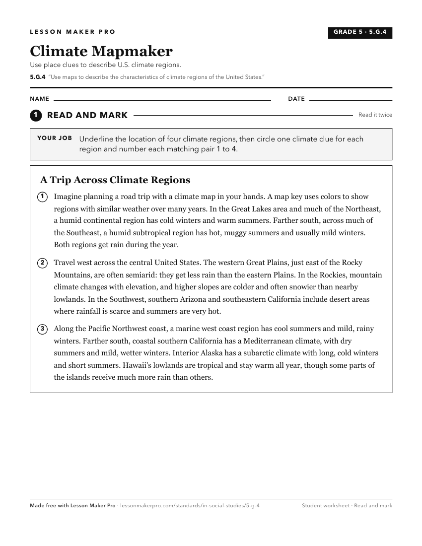
A ready-to-print activity worksheet aligned to 5.G.4, with an answer key for the teacher on its own page. No account needed.
PDF, US Letter, prints cleanly in black and white.
Download the worksheetKeep exploring
Related Standards
- 3.G.2
Label a map of the Midwest, identifying states, major rivers, lakes, and the Great Lakes.
- 5.G.2
Use maps and globes to locate states, capitals, major cities, major rivers, the Great Lakes, and mountain ranges in the United States.
- 8.G.4
Using maps, identify changes influenced by growth, economic development, and human migration in the United States.
- 6.G.3
Locate, describe, and compare major physical characteristics of regions (e.g., climate, plains) of Europe and the Americas.
Turn this exact standard into a lesson
Grade, subject, topic, and the complete standard are prefilled. Create one free, no account needed.
Also for this standard:Make a WorksheetMake a QuizMake a Sub Lesson