Indiana Social Studies GHW.8.2
The Standard
Prepare graphic representations, such as maps, tables, and timelines, to describe the global movement of goods and services between and among countries and world regions over time. Analyze and assess the patterns and networks of economic interdependence or lack of interdependence.
2026 Indiana Academic Standards: K-12 Social Studies
Teacher's field guide
What This Standard Means
What Students Need to Do
- Students turn trade data from two years into maps, tables, or timelines showing where goods and services move. They compare routes and amounts to explain which countries rely on each other and which have few recorded links.
What Mastery Looks Like
- A student labels trade arrows with the origin, destination, year, and good or service. They use trade amounts to explain a growing connection without treating a missing arrow as proof that no trade exists.
Common Misconceptions
- Students may draw arrows backward or treat software services as physical shipments. They may assume a blank route means no trade, or mistake a large one-way flow for balanced exchange.
How to Assess It
- Exit ticket: Use these sample flows, in $ billions: Mexico to US vehicles, 2005: 30 and 2020: 90; US to Mexico machinery, 2005: 20 and 2020: 50; Kenya to US tea, 2005: 1 and 2020: 2. Draw arrows for both years, then name one growing two-way link and one weaker recorded link.
Lesson moves
Ways to Teach It
Give pairs trade cards for chips, phones, and software in 2005 and 2020; have them draw labeled arrows on two blank world maps.
Ask: Does a missing arrow on our trade map prove two countries never trade, or could our cards leave out a link?
Play trade-route match: students pair six good and service cards with exporter, importer, and year cards, then check their arrows against a map key.
Check labels on three classroom items, mark their listed production countries on a map, and discuss what the labels cannot show about services.
Free download
Printable GHW.8.2 Worksheet
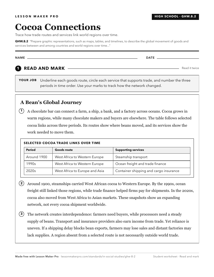
A ready-to-print activity worksheet aligned to GHW.8.2, with an answer key for the teacher on its own page. No account needed.
PDF, US Letter, prints cleanly in black and white.
Download the worksheetKeep exploring
Related Standards
- WG.4.13
Identify contemporary spatial patterns in the movement of goods, services, and ideas throughout the world.
- GHW.7.3
Prepare a variety of texts (writing, maps, timelines, and/or other graphic representations) to trace the development and geographic extent of a variety of regio...
- GHW.8.1
Use maps to show the location and distribution of Earth’s resources, and analyze how this distribution changes over time and affects trade among countries, regi...
- WG.4.14
Use global political, economic, cultural, or social flows to describe and illustrate interdependence between places, countries and regions.
Turn this exact standard into a lesson
Grade, subject, topic, and the complete standard are prefilled. Create one free, no account needed.
Also for this standard:Make a WorksheetMake a QuizMake a Sub Lesson