Indiana Social Studies GHW.8.1
The Standard
Use maps to show the location and distribution of Earth’s resources, and analyze how this distribution changes over time and affects trade among countries, regions, and local communities.
2026 Indiana Academic Standards: K-12 Social Studies
Teacher's field guide
What This Standard Means
What Students Need to Do
- Students locate major sources of a resource on maps from two dates and compare where extraction rises or falls. They trace trade routes and explain effects on producing and buying communities.
What Mastery Looks Like
- Given copper production maps for 2000 and 2020, a student identifies a change in output without claiming the ore deposits moved. They explain why a country buys copper and name one effect on a mining town, such as jobs or water use.
Common Misconceptions
- Students may read a larger production symbol as a new deposit, when it can mean more mining. They may assume every country with copper mines exports copper or that buyers always choose the nearest supplier.
How to Assess It
- Give students copper production maps for 2000 and 2020, plus an arrow from Chile to China. Ask them to name one production change, explain why China buys copper, and describe one effect on a Chilean mining town.
Lesson moves
Ways to Teach It
Give pairs two dated copper production maps, sticky dots, and yarn; have them mark major sources and string a route from Chile to China.
Ask students to write: If copper output falls in one region, what might change for its miners and buyers?
Give teams Chile and Peru source cards and a China buyer card; award points for correct placement and plausible copper routes.
Bring a coffee bag with its origin listed; students map that country and draw a route to their local grocery store.
Free download
Printable GHW.8.1 Worksheet
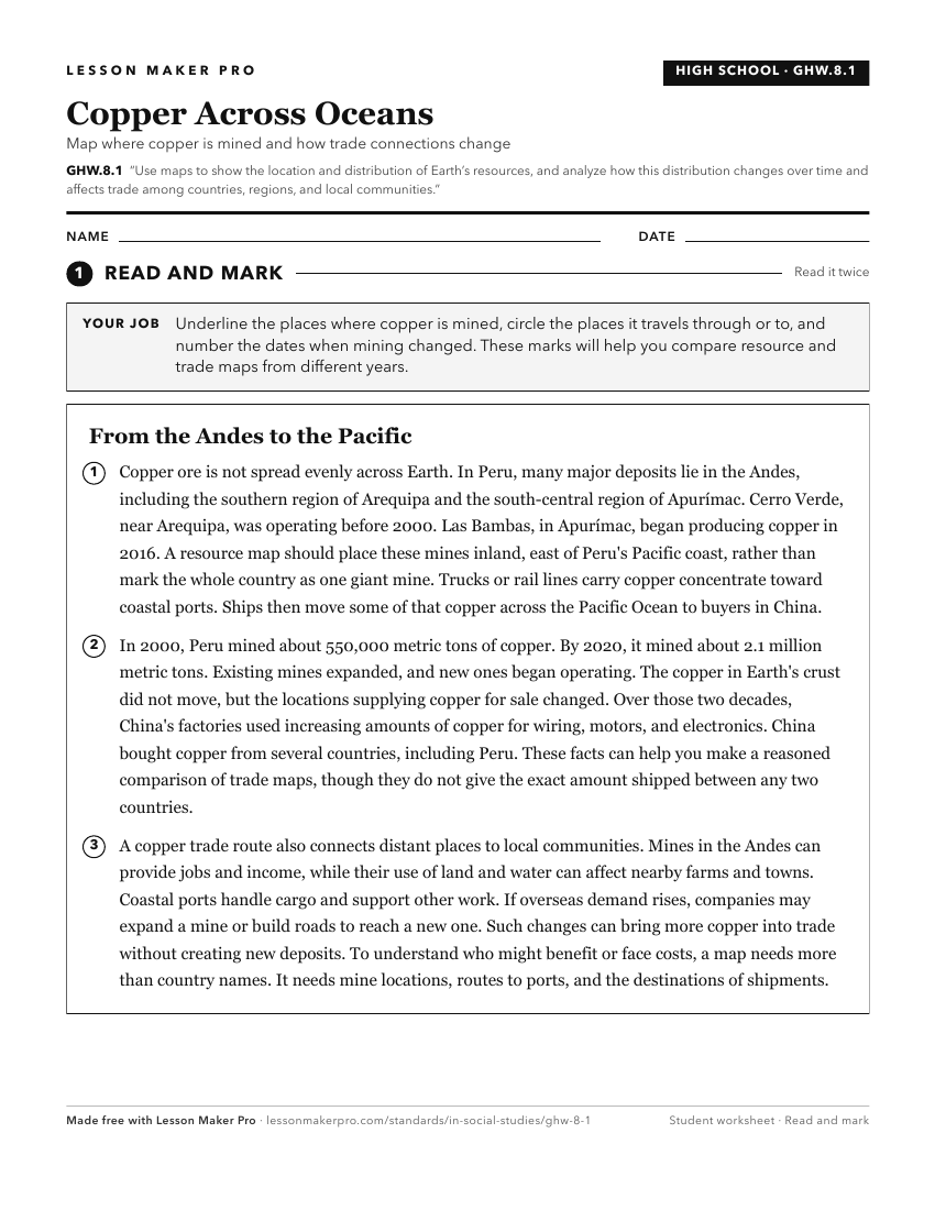
A ready-to-print activity worksheet aligned to GHW.8.1, with an answer key for the teacher on its own page. No account needed.
PDF, US Letter, prints cleanly in black and white.
Download the worksheetKeep exploring
Related Standards
- 7.G.3
Use historical and modern maps to identify changes in Africa, Asia, and the Southwest Pacific over time, highlighting physical and human systems.
- WG.5.4
Identify patterns of world resource distribution and utilization, and explain the impacts of using renewable and nonrenewable resources.
- GHW.8.2
Prepare graphic representations, such as maps, tables, and timelines, to describe the global movement of goods and services between and among countries and worl...
- GHW.9.1
Use maps to identify regions in the world where particular natural disasters occur frequently, and analyze how the physical and human environments have been mod...
Turn this exact standard into a lesson
Grade, subject, topic, and the complete standard are prefilled. Create one free, no account needed.
Also for this standard:Make a WorksheetMake a QuizMake a Sub Lesson