Georgia SS7G9.a
The Standard
- SS7G9
- Locate selected features in Southern and Eastern Asia.
Locate on a world and regional political-physical map: Ganges River, Huang He (Yellow River), Chang Jiang (Yangtze) River, Bay of Bengal, Indian Ocean, Sea of Japan, South China Sea, Yellow Sea, Gobi Desert, Taklimakan Desert, Himalayan Mountains, and Korean Peninsula.
Georgia Standards of Excellence for Social Studies · Locate selected features in Southern and Eastern Asia.
Teacher's field guide
What This Standard Means
What Students Need to Do
- Students find major rivers, seas, deserts, mountains, and peninsulas on world and regional maps. They use shape, direction, nearby countries, and relative location to identify each feature.
What Mastery Looks Like
- Students accurately label the required features on an unlabeled map. They can also describe each location using nearby countries, landforms, or bodies of water.
Common Misconceptions
- Students often switch the Huang He and Chang Jiang or confuse the Yellow Sea with the South China Sea. They may place the Gobi and Taklimakan deserts together or label the Himalayas inside India.
How to Assess It
- Give students a blank regional map and four minutes to label all 12 features. Ask them to write one relative-location clue for any two labels.
Lesson moves
Ways to Teach It
Place labeled feature cards on a laminated outline map, then have pairs check locations with an atlas and correct misplaced cards.
Ask students to write three location clues, such as north of or empties into, then trade clues with a partner.
Run map bingo using feature names as squares and teacher-read location clues instead of calling the names directly.
Trace a cargo route from India to Japan, naming the waters crossed and explaining which mountains or deserts block an overland route.
Free download
Printable SS7G9.a Worksheet
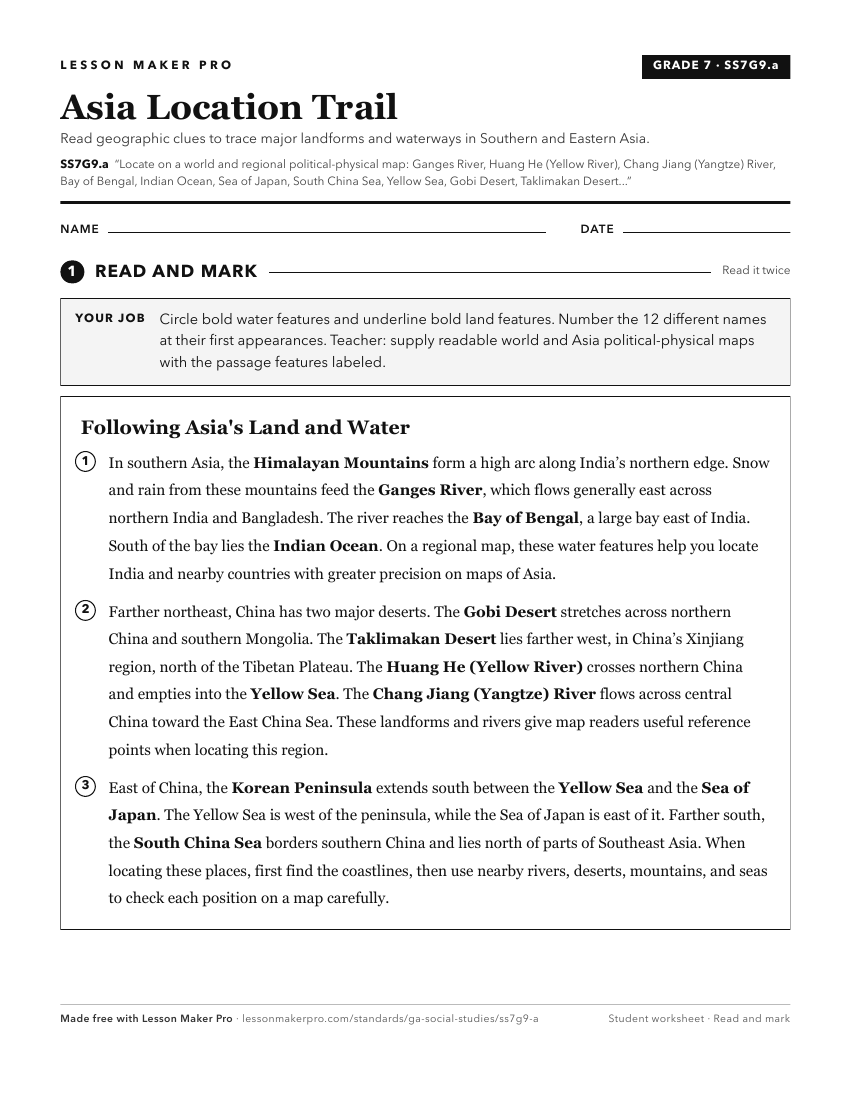
A ready-to-print activity worksheet aligned to SS7G9.a, with an answer key for the teacher on its own page. No account needed.
PDF, US Letter, prints cleanly in black and white.
Download the worksheetKeep exploring
Related Standards
- SS7G5.a
Locate on a world and regional political-physical map: Euphrates River, Jordan River, Tigris River, Suez Canal, Persian Gulf, Strait of Hormuz, Arabian Sea, and...
- SS6G7.a
Locate on a world and regional political-physical map: the Danube River, Rhine River, English Channel, Mediterranean Sea, European Plain, the Alps, Pyrenees, Ur...
- SS7G9.b
Locate on a world and regional political-physical map the countries of China, India, Japan, North Korea, South Korea, and Vietnam.
- SS6G1.a
Locate on a world and regional political-physical map: Amazon River, Amazon Rainforest, Caribbean Sea, Gulf of Mexico, Atlantic Ocean, Pacific Ocean, Panama Can...
Turn this exact standard into a lesson
Grade, subject, topic, and the complete standard are prefilled. Create one free, no account needed.
Also for this standard:Make a WorksheetMake a QuizMake a Sub Lesson