Georgia SS7G5.a
The Standard
- SS7G5
- Locate selected features in Southwest Asia (Middle East).
Locate on a world and regional political-physical map: Euphrates River, Jordan River, Tigris River, Suez Canal, Persian Gulf, Strait of Hormuz, Arabian Sea, and Red Sea.
Georgia Standards of Excellence for Social Studies · Locate selected features in Southwest Asia (Middle East).
Teacher's field guide
What This Standard Means
What Students Need to Do
- Students locate and label the major rivers and waterways of Southwest Asia on world and regional maps. They distinguish rivers, seas, gulfs, canals, and straits by position and type.
What Mastery Looks Like
- Given an unlabeled map, students place all eight features correctly with no more than one error. They use nearby countries and coastlines to explain each choice.
Common Misconceptions
- Students often reverse the Tigris and Euphrates Rivers or confuse the Jordan River with the country of Jordan. They may mix up the Persian Gulf and Arabian Sea or treat the Suez Canal as a natural waterway.
How to Assess It
- Give students a blank regional map and ask them to label all eight target features, circle the canal, and box the strait. Score each location separately.
Lesson moves
Ways to Teach It
Give pairs a laminated regional map and blue yarn to trace rivers, seas, the canal, and the strait before adding labels.
Ask students to write which waterway would matter most for shipping and support their choice with map evidence.
Play map relay, with teams placing one feature card at a time on a large unlabeled map.
Trace an oil tanker route from the Persian Gulf through the Strait of Hormuz and Arabian Sea, noting each geographic feature crossed.
Free download
Printable SS7G5.a Worksheet
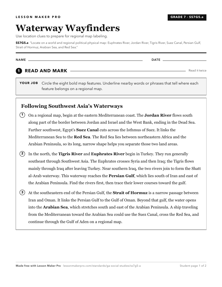
A ready-to-print activity worksheet aligned to SS7G5.a, with an answer key for the teacher on its own page. No account needed.
PDF, US Letter, prints cleanly in black and white.
Download the worksheetKeep exploring
Related Standards
- SS7G9.a
Locate on a world and regional political-physical map: Ganges River, Huang He (Yellow River), Chang Jiang (Yangtze) River, Bay of Bengal, Indian Ocean, Sea of J...
- SS6G7.a
Locate on a world and regional political-physical map: the Danube River, Rhine River, English Channel, Mediterranean Sea, European Plain, the Alps, Pyrenees, Ur...
- SS7G1.a
Locate on a world and regional political-physical map: Sahara, Sahel, savanna, tropical rain forest, Congo River, Niger River, Nile River, Lake Victoria, Great ...
- SS7G5.b
Locate on a world and regional political-physical map: Afghanistan, Iran, Iraq, Israel, Kuwait, Saudi Arabia, Syria, Turkey, Gaza Strip, and West Bank.
Turn this exact standard into a lesson
Grade, subject, topic, and the complete standard are prefilled. Create one free, no account needed.
Also for this standard:Make a WorksheetMake a QuizMake a Sub Lesson