Georgia SS7G1.a
The Standard
- SS7G1
- Locate selected features of Africa.
Locate on a world and regional political-physical map: Sahara, Sahel, savanna, tropical rain forest, Congo River, Niger River, Nile River, Lake Victoria, Great Rift Valley, Mt. Kilimanjaro, Atlas Mountains, and Kalahari Desert.
Georgia Standards of Excellence for Social Studies · Locate selected features of Africa.
Teacher's field guide
What This Standard Means
What Students Need to Do
- Students find major African landforms, waterways, deserts, and vegetation regions on world and regional maps. They use countries, coastlines, and nearby features as reference points.
What Mastery Looks Like
- Given an unlabeled map, a student correctly places each required feature. The student can also describe locations using phrases such as north of, along, between, or near.
Common Misconceptions
- Students often confuse the Sahel with the Sahara or savanna, and they may switch the Congo and Niger rivers. They may also place Mount Kilimanjaro near the Atlas Mountains or locate Lake Victoria too far south.
How to Assess It
- Give students a blank map and six randomly selected feature names. Have them mark and label each location without using notes.
Lesson moves
Ways to Teach It
Give pairs a laminated blank map and feature cards to place, check, and revise using an atlas.
Ask students to write three location clues for one feature, then trade clues and identify a classmate’s feature.
Play map relay: teams draw a feature card, point to its location, and earn a point for accurate placement.
Plot a Cairo-to-Nairobi travel route and mark which rivers, deserts, highlands, or vegetation zones a traveler might encounter.
Free download
Printable SS7G1.a Worksheet
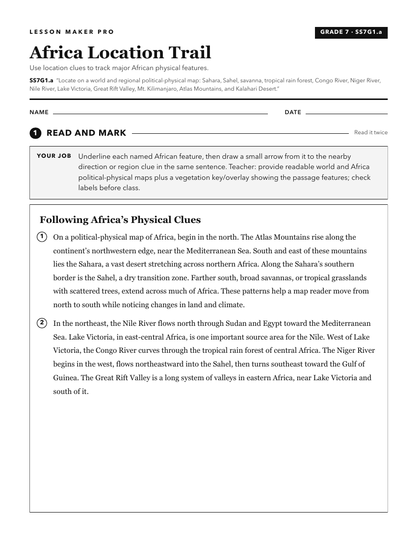
A ready-to-print activity worksheet aligned to SS7G1.a, with an answer key for the teacher on its own page. No account needed.
PDF, US Letter, prints cleanly in black and white.
Download the worksheetKeep exploring
Related Standards
- SS7G1.b
Locate on a world and regional political-physical map the countries of Democratic Republic of the Congo, Egypt, Kenya, Nigeria, South Africa, and Sudan.
- SS6G7.a
Locate on a world and regional political-physical map: the Danube River, Rhine River, English Channel, Mediterranean Sea, European Plain, the Alps, Pyrenees, Ur...
- SS6G11.a
Locate on a world and regional political-physical map: the Great Barrier Reef, Coral Sea, Uluru/Ayers Rock, Indian and Pacific Oceans, Great Dividing Range, and...
- SS6G1.a
Locate on a world and regional political-physical map: Amazon River, Amazon Rainforest, Caribbean Sea, Gulf of Mexico, Atlantic Ocean, Pacific Ocean, Panama Can...
Turn this exact standard into a lesson
Grade, subject, topic, and the complete standard are prefilled. Create one free, no account needed.
Also for this standard:Make a WorksheetMake a QuizMake a Sub Lesson