Georgia SS7G1.b
The Standard
- SS7G1
- Locate selected features of Africa.
Locate on a world and regional political-physical map the countries of Democratic Republic of the Congo, Egypt, Kenya, Nigeria, South Africa, and Sudan.
Georgia Standards of Excellence for Social Studies · Locate selected features of Africa.
Teacher's field guide
What This Standard Means
What Students Need to Do
- Students identify the six assigned countries on both world and regional maps of Africa. They use coastlines, borders, nearby countries, and physical features as location clues.
What Mastery Looks Like
- Students accurately label all six countries on an unlabeled map. They can also describe each location using clues such as region, coastline, or neighboring countries.
Common Misconceptions
- Students often confuse the Democratic Republic of the Congo with the Republic of the Congo, Nigeria with Niger, and Sudan with South Sudan. Some treat South Africa as only a region rather than a country.
How to Assess It
- Give students blank world and regional maps with a six-country word bank. Ask them to label each country correctly on both maps.
Lesson moves
Ways to Teach It
Give pairs laminated maps, dry-erase markers, and country-name cards to place and check using an atlas.
Ask students to write directions for finding one assigned country using borders, coastlines, regions, or nearby physical features.
Play a map relay where teams take turns placing one country label correctly on a large blank map.
Provide six recent news headlines, then have students pin each story to its country on a classroom map.
Free download
Printable SS7G1.b Worksheet
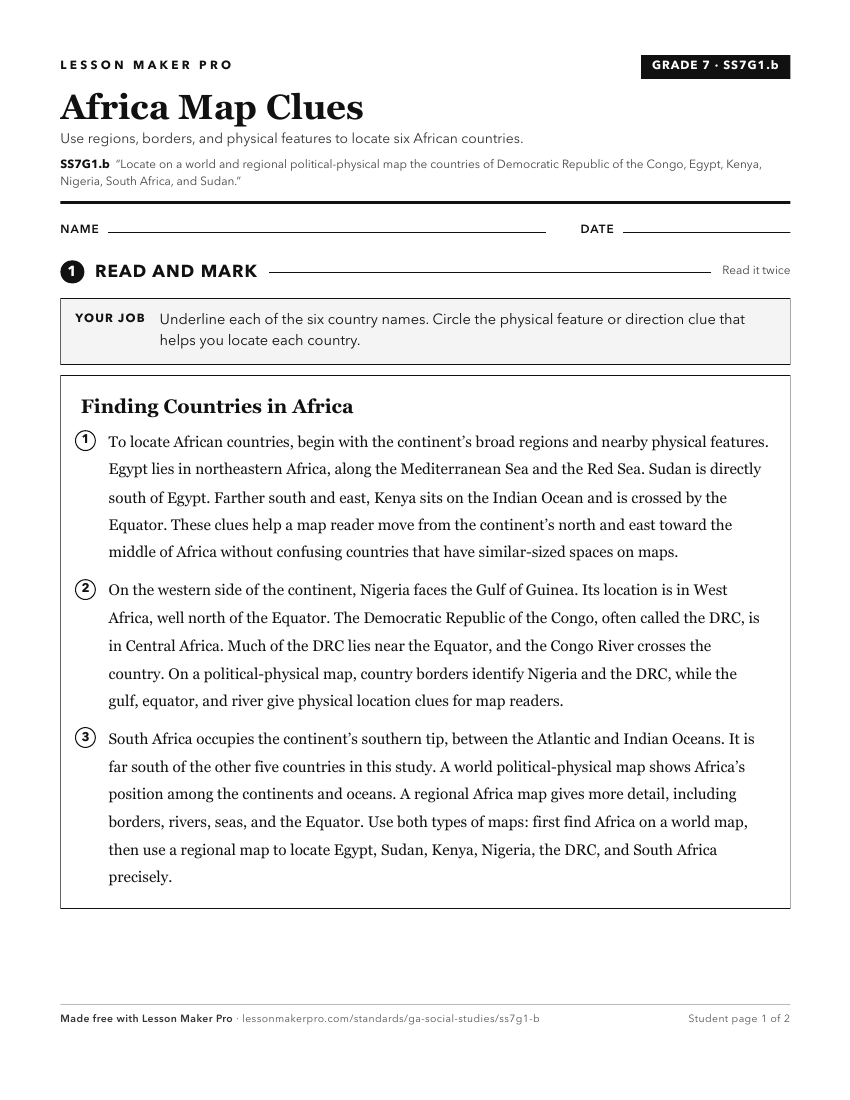
A ready-to-print activity worksheet aligned to SS7G1.b, with an answer key for the teacher on its own page. No account needed.
PDF, US Letter, prints cleanly in black and white.
Download the worksheetKeep exploring
Related Standards
- SS6G1.b
Locate on a world and regional political-physical map the countries of Brazil, Chile, Colombia, Cuba, Mexico, and Panama.
- SS6G7.b
Locate on a world and regional political-physical map the countries of France, Germany, Italy, Russia, Spain, Ukraine, and United Kingdom.
- SS7G1.a
Locate on a world and regional political-physical map: Sahara, Sahel, savanna, tropical rain forest, Congo River, Niger River, Nile River, Lake Victoria, Great ...
- SS7G9.b
Locate on a world and regional political-physical map the countries of China, India, Japan, North Korea, South Korea, and Vietnam.
Turn this exact standard into a lesson
Grade, subject, topic, and the complete standard are prefilled. Create one free, no account needed.
Also for this standard:Make a WorksheetMake a QuizMake a Sub Lesson