Georgia SS6G11.a
The Standard
- SS6G11
- Locate selected features of Australia.
Locate on a world and regional political-physical map: the Great Barrier Reef, Coral Sea, Uluru/Ayers Rock, Indian and Pacific Oceans, Great Dividing Range, and Great Victoria Desert.
Georgia Standards of Excellence for Social Studies · Locate selected features of Australia.
Teacher's field guide
What This Standard Means
What Students Need to Do
- Students locate and label seven major Australian land and water features on world and regional maps. They identify each feature by name, type, and position relative to Australia.
What Mastery Looks Like
- Students accurately place all seven features on a blank map. They can describe locations using directions, such as the Coral Sea east of Queensland and Uluru in central Australia.
Common Misconceptions
- Students often confuse the Coral Sea with the Great Barrier Reef or switch the Indian and Pacific Oceans. They may mistake Uluru for a mountain range or confuse the Great Victoria Desert with the state of Victoria.
How to Assess It
- Give students a blank map of Australia and its surrounding waters. Ask them to label all seven features and write one accurate relative-location sentence.
Lesson moves
Ways to Teach It
Give pairs a large blank map and movable name cards to place, check, and glue onto the correct locations.
Ask students to explain why the Great Barrier Reef and Great Dividing Range have similar names but different locations and features.
Play a map relay where teams place one feature card at a time, then correct errors using an atlas.
Have students plan a route from Perth to Uluru to the Great Barrier Reef and name the physical features near each stop.
Free download
Printable SS6G11.a Worksheet
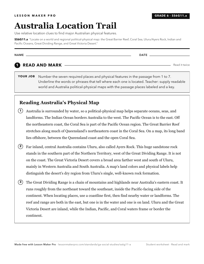
A ready-to-print activity worksheet aligned to SS6G11.a, with an answer key for the teacher on its own page. No account needed.
PDF, US Letter, prints cleanly in black and white.
Download the worksheetKeep exploring
Related Standards
- SS7G5.a
Locate on a world and regional political-physical map: Euphrates River, Jordan River, Tigris River, Suez Canal, Persian Gulf, Strait of Hormuz, Arabian Sea, and...
- SS7G1.a
Locate on a world and regional political-physical map: Sahara, Sahel, savanna, tropical rain forest, Congo River, Niger River, Nile River, Lake Victoria, Great ...
- SS6G4.a
Locate on a world and regional political-physical map: the St. Lawrence River, Hudson Bay, Atlantic Ocean, Pacific Ocean, the Great Lakes, Canadian Shield, and ...
- SS6G1.a
Locate on a world and regional political-physical map: Amazon River, Amazon Rainforest, Caribbean Sea, Gulf of Mexico, Atlantic Ocean, Pacific Ocean, Panama Can...
Turn this exact standard into a lesson
Grade, subject, topic, and the complete standard are prefilled. Create one free, no account needed.
Also for this standard:Make a WorksheetMake a QuizMake a Sub Lesson