Georgia SS6G7.a
The Standard
- SS6G7
- Locate selected features of Europe.
Locate on a world and regional political-physical map: the Danube River, Rhine River, English Channel, Mediterranean Sea, European Plain, the Alps, Pyrenees, Ural Mountains, and Iberian Peninsula.
Georgia Standards of Excellence for Social Studies · Locate selected features of Europe.
Teacher's field guide
What This Standard Means
What Students Need to Do
- Students find and label major European waterways, landforms, and regions on both world and regional maps. They use coastlines, countries, and relative position as location clues.
What Mastery Looks Like
- A student accurately places every named feature on an unlabeled map. They can describe locations using clues, such as the Pyrenees between Spain and France or the Urals along Europe’s eastern edge.
Common Misconceptions
- Students often swap the Rhine and Danube or assume both flow in the same direction. They may confuse the Alps and Pyrenees, place the Urals too far west, or treat the European Plain as a country.
How to Assess It
- Give students an unlabeled map of Europe and a world map. Ask them to label all nine features and write one location clue for three of them.
Lesson moves
Ways to Teach It
Build a floor map with blue yarn for the Rhine and Danube, clay for mountain ranges, and cards for the plain and peninsula.
Ask: Which features act as barriers, routes, or boundaries, and what map evidence supports each choice?
Play map relay: teams draw a feature card, point to it on a blank wall map, then name one nearby country.
Plan a train and boat trip from Spain to Romania, requiring stops near the Pyrenees, Mediterranean Sea, Alps, and Danube River.
Free download
Printable SS6G7.a Worksheet
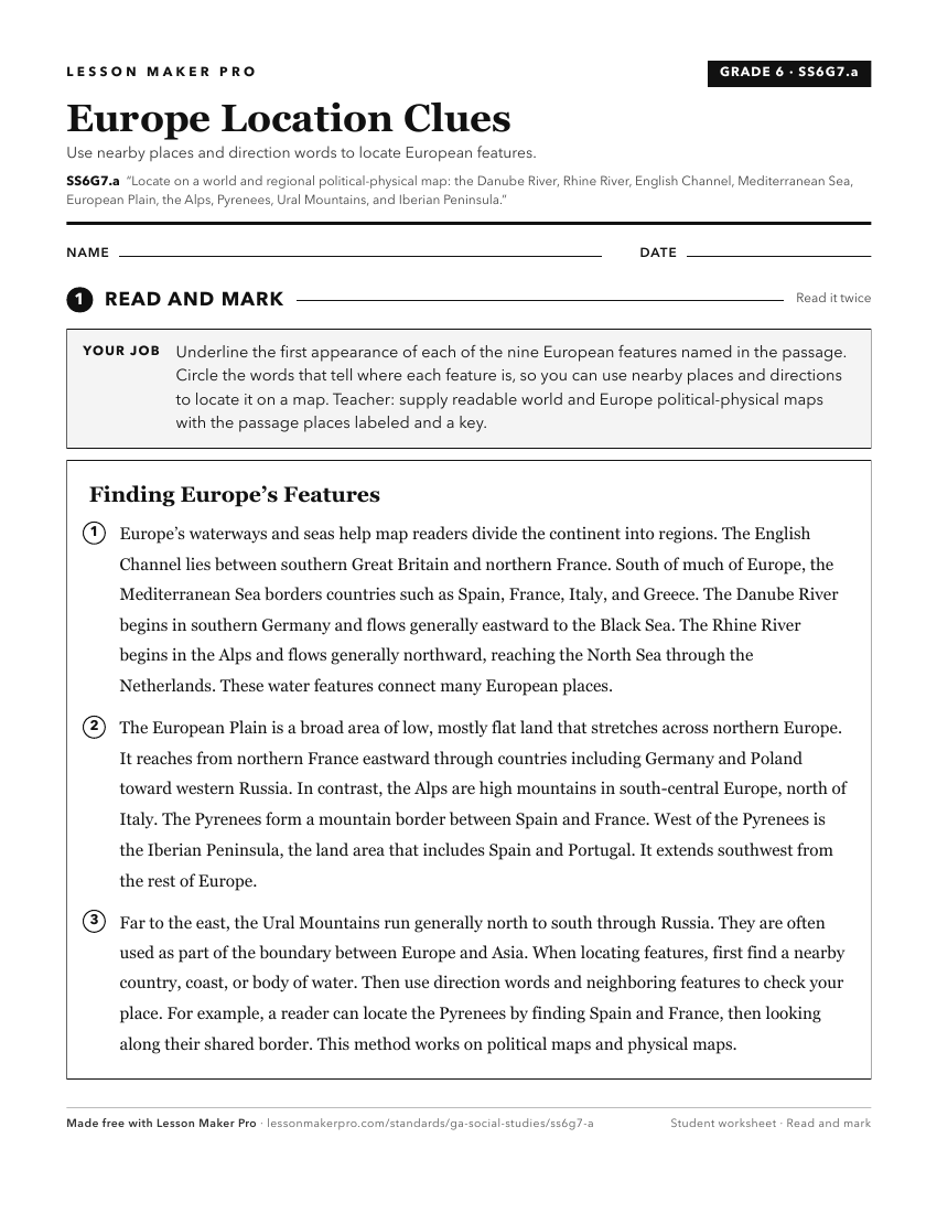
A ready-to-print activity worksheet aligned to SS6G7.a, with an answer key for the teacher on its own page. No account needed.
PDF, US Letter, prints cleanly in black and white.
Download the worksheetKeep exploring
Related Standards
- SS7G9.a
Locate on a world and regional political-physical map: Ganges River, Huang He (Yellow River), Chang Jiang (Yangtze) River, Bay of Bengal, Indian Ocean, Sea of J...
- SS6G7.b
Locate on a world and regional political-physical map the countries of France, Germany, Italy, Russia, Spain, Ukraine, and United Kingdom.
- SS7G5.a
Locate on a world and regional political-physical map: Euphrates River, Jordan River, Tigris River, Suez Canal, Persian Gulf, Strait of Hormuz, Arabian Sea, and...
- SS6G1.a
Locate on a world and regional political-physical map: Amazon River, Amazon Rainforest, Caribbean Sea, Gulf of Mexico, Atlantic Ocean, Pacific Ocean, Panama Can...
Turn this exact standard into a lesson
Grade, subject, topic, and the complete standard are prefilled. Create one free, no account needed.
Also for this standard:Make a WorksheetMake a QuizMake a Sub Lesson