Georgia SS7G5.b
The Standard
- SS7G5
- Locate selected features in Southwest Asia (Middle East).
Locate on a world and regional political-physical map: Afghanistan, Iran, Iraq, Israel, Kuwait, Saudi Arabia, Syria, Turkey, Gaza Strip, and West Bank.
Georgia Standards of Excellence for Social Studies · Locate selected features in Southwest Asia (Middle East).
Teacher's field guide
What This Standard Means
What Students Need to Do
- Students identify and label the assigned countries and territories on both world and regional maps. They use borders, nearby waters, and neighboring places to confirm each location.
What Mastery Looks Like
- A student can place all ten names correctly on an unlabeled map. The student can also describe locations with clues, such as Iran east of Iraq or Kuwait on the Persian Gulf.
Common Misconceptions
- Students often swap Iran and Iraq, or place Syria south of Saudi Arabia. They may treat the Gaza Strip and West Bank as cities or independent countries. Small areas such as Kuwait and the Gaza Strip are often overlooked.
How to Assess It
- Give students a blank regional map with ten numbered locations and the ten names in a word bank. Ask them to match every number and circle the two territories.
Lesson moves
Ways to Teach It
Give pairs a cut-up regional map puzzle, then have them assemble it and add labeled cards for each country and territory.
Ask students to write three location clues using borders, seas, or neighboring places, then trade clues for a partner to solve.
Play map bingo by calling clues such as east of Iraq, students cover the matching name and point to it on a map.
Project a current news map, name one featured place, and have students identify two neighbors and the nearest major body of water.
Free download
Printable SS7G5.b Worksheet
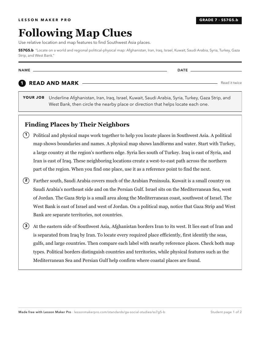
A ready-to-print activity worksheet aligned to SS7G5.b, with an answer key for the teacher on its own page. No account needed.
PDF, US Letter, prints cleanly in black and white.
Download the worksheetKeep exploring
Related Standards
- SS6G7.b
Locate on a world and regional political-physical map the countries of France, Germany, Italy, Russia, Spain, Ukraine, and United Kingdom.
- SS7G5.a
Locate on a world and regional political-physical map: Euphrates River, Jordan River, Tigris River, Suez Canal, Persian Gulf, Strait of Hormuz, Arabian Sea, and...
- SS7G1.a
Locate on a world and regional political-physical map: Sahara, Sahel, savanna, tropical rain forest, Congo River, Niger River, Nile River, Lake Victoria, Great ...
- SS7G9.b
Locate on a world and regional political-physical map the countries of China, India, Japan, North Korea, South Korea, and Vietnam.
Turn this exact standard into a lesson
Grade, subject, topic, and the complete standard are prefilled. Create one free, no account needed.
Also for this standard:Make a WorksheetMake a QuizMake a Sub Lesson