Florida SS.K.G.3.1
The Standard
- SS.K.G.3
- Physical System
Identify basic landforms.
Florida Next Generation Sunshine State Standards for Social Studies · Geography
Teacher's field guide
What This Standard Means
What Students Need to Do
- Students look at photos, models, and simple maps and name mountains, hills, valleys, and plains. They describe visible clues, such as high, low, steep, or flat.
What Mastery Looks Like
- Students correctly label common features in new pictures or models. They explain each choice using a visible clue, such as a valley being low between higher areas.
Common Misconceptions
- Students may call every raised area a mountain or think mountains must have snow. They may confuse valleys with rivers and plains with any empty area.
How to Assess It
- Show photos of a mountain, hill, valley, and plain. Ask each student to name two and point out one clue for each answer.
Lesson moves
Ways to Teach It
Give pairs play dough and a tray; have them build a mountain, hill, valley, and plain, then label each with word cards.
Show one mountain photo and one hill photo, then ask, "What do you notice that helps you tell them apart?"
Play Landform Corners: call a feature, and students move to the corner displaying its matching picture.
Compare a Florida plain photo with an Appalachian mountain photo, and have students choose where a straight road would be easier to build.
Free download
Printable SS.K.G.3.1 Worksheet
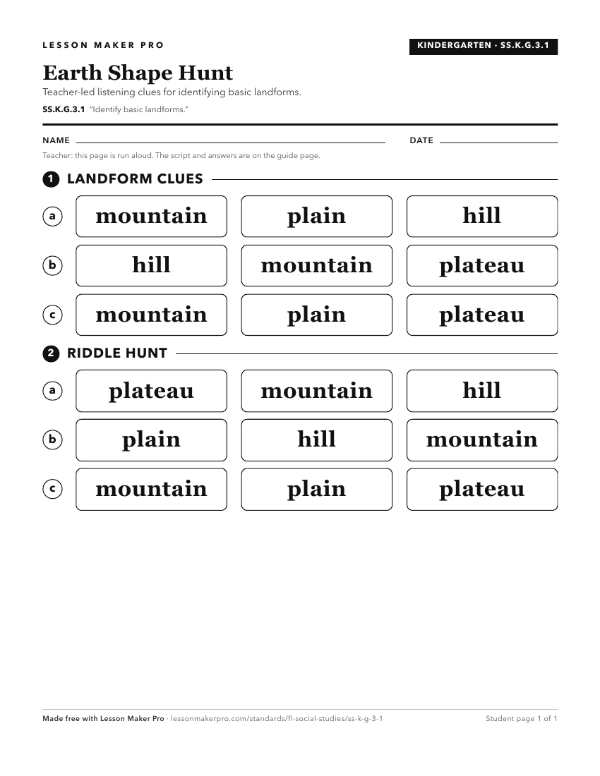
A ready-to-print activity worksheet aligned to SS.K.G.3.1, with an answer key for the teacher on its own page. No account needed.
PDF, US Letter, prints cleanly in black and white.
Download the worksheetKeep exploring
Related Standards
- SS.5.G.1.3
Identify major United States physical features on a map of North America.
- SS.K.G.1.4
Differentiate land and water features on simple maps and globes.
- SS.3.G.2.5
Identify natural and man-made landmarks in the United States, Canada, Mexico, and the Caribbean.
- SS.K.G.3.2
Identify basic bodies of water.
Turn this exact standard into a lesson
Grade, subject, topic, and the complete standard are prefilled. Create one free, no account needed.
Also for this standard:Make a WorksheetMake a QuizMake a Sub Lesson