Florida SS.7.G.3.1
The Standard
- SS.7.G.3
- Understand the relationships between the Earth's ecosystems and the populations that dwell within them.
Use maps to describe the location, abundance, and variety of natural resources in North America.
Florida Next Generation Sunshine State Standards for Social Studies
Teacher's field guide
What This Standard Means
What Students Need to Do
- Students read thematic maps to locate natural resources across North America. They compare where resources are concentrated, scarce, or varied and support descriptions with map evidence.
What Mastery Looks Like
- Students use map titles, legends, symbols, and color scales accurately. They identify resource patterns and compare the abundance and variety of resources in different regions.
Common Misconceptions
- Students may treat every map symbol as showing equal amounts or confuse resource location with where products are manufactured. They may overlook renewable resources or describe North America as only the United States.
How to Assess It
- Give students a North America resource map and ask: Where is one resource most abundant, and which region has the greatest variety? Cite two map details.
Lesson moves
Ways to Teach It
Give pairs printed resource maps and colored sticky dots to mark three resource locations, then label areas of high and low abundance.
Ask students to write: Which North American region has the widest resource variety, and what map evidence supports your answer?
Play Resource Map Relay, where teams use legends to match clue cards with the correct resource and North American location.
Have students trace materials in a phone, pencil, or soda can to North American resource locations shown on a map.
Free download
Printable SS.7.G.3.1 Worksheet
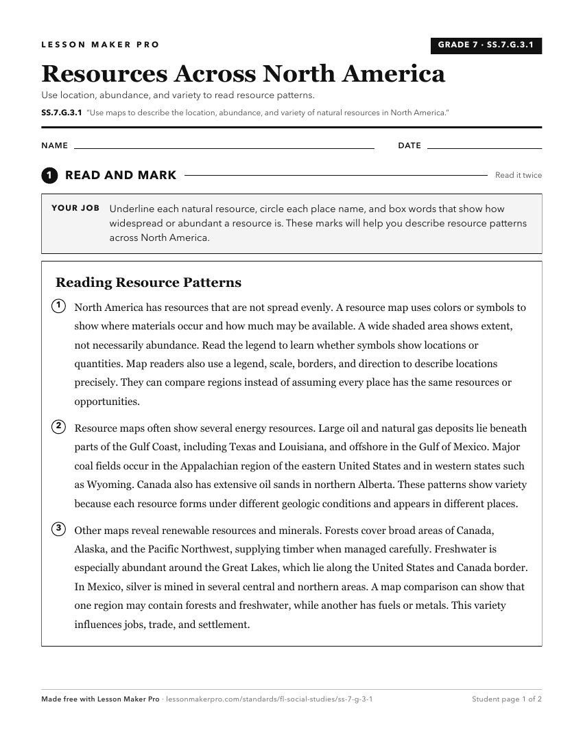
A ready-to-print activity worksheet aligned to SS.7.G.3.1, with an answer key for the teacher on its own page. No account needed.
PDF, US Letter, prints cleanly in black and white.
Download the worksheetKeep exploring
Related Standards
- SS.2.G.1.4
Use a map to locate the countries in North America (Canada, United States, Mexico, and the Caribbean Islands).
- SS.7.G.1.3
Interpret maps to identify geopolitical divisions and boundaries of places in North America.
- SS.3.G.3.2
Describe the natural resources in the United States, Canada, Mexico, and the Caribbean.
- SS.8.G.1.1
Use maps to explain physical and cultural attributes of major regions throughout American history.
Turn this exact standard into a lesson
Grade, subject, topic, and the complete standard are prefilled. Create one free, no account needed.
Also for this standard:Make a WorksheetMake a QuizMake a Sub Lesson