Florida SS.7.G.1.3
The Standard
- SS.7.G.1
- Understand how to use maps and other geographic representations, tools, and technology to report information.
Interpret maps to identify geopolitical divisions and boundaries of places in North America.
Florida Next Generation Sunshine State Standards for Social Studies
Teacher's field guide
What This Standard Means
What Students Need to Do
- Students read political maps and legends to locate countries, territories, states, and provinces across North America. They distinguish international borders from internal boundaries and describe which places share a border.
What Mastery Looks Like
- Given an unfamiliar political map, a student uses labels, symbols, and boundary lines to identify political divisions. The student can name neighboring places and tell whether a marked line separates countries, states, or provinces.
Common Misconceptions
- Students may confuse political boundaries with coastlines, rivers, or roads. They may treat states and provinces as countries or think North America includes only the United States, Canada, and Mexico.
How to Assess It
- Give students an unlabeled political map with five marked boundaries. Ask them to identify the places on each side and classify each boundary as international or internal.
Lesson moves
Ways to Teach It
Give pairs a laminated map and colored yarn to mark international borders in one color and state or province boundaries in another.
Ask students to write how one place can belong to a city, state or province, country, and continent at the same time.
Play Boundary Bingo by reading clues about neighboring countries, states, provinces, and territories while students cover matching places on political maps.
Project a current North American news map and have students identify the countries or regions involved and their shared boundaries.
Free download
Printable SS.7.G.1.3 Worksheet
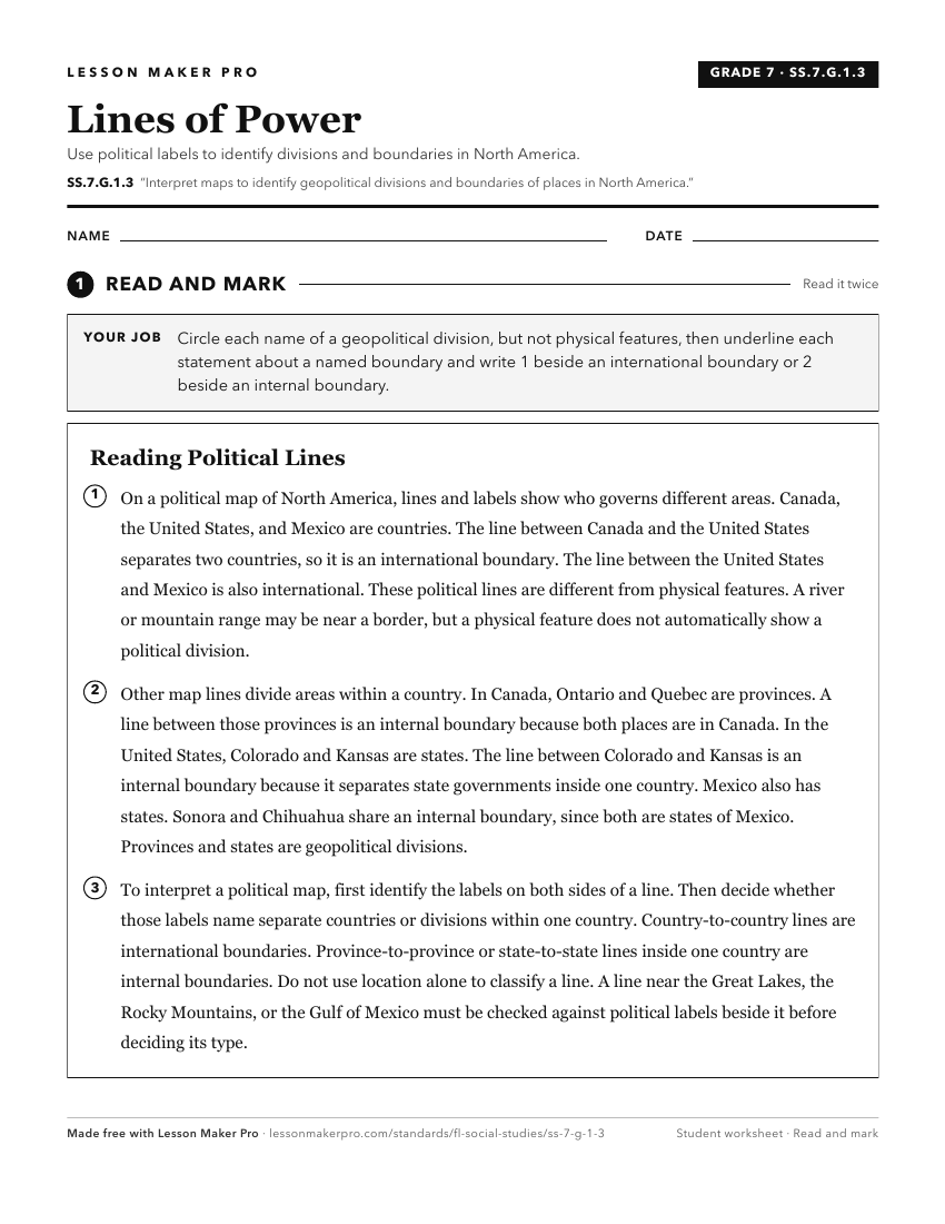
A ready-to-print activity worksheet aligned to SS.7.G.1.3, with an answer key for the teacher on its own page. No account needed.
PDF, US Letter, prints cleanly in black and white.
Download the worksheetKeep exploring
Related Standards
- SS.8.G.4.4
Interpret databases, case studies and maps to describe the role that regions play in influencing trade, migration patterns, and cultural or political interactio...
- SS.4.G.1.4
Interpret political and physical maps using map elements (title, compass rose, cardinal directions, intermediate directions, symbols, legend, scale, longitude, ...
- SS.7.G.4.2
Use maps and other geographic tools to examine the importance of demographics within political divisions of the United States.
- SS.8.G.1.1
Use maps to explain physical and cultural attributes of major regions throughout American history.
Turn this exact standard into a lesson
Grade, subject, topic, and the complete standard are prefilled. Create one free, no account needed.
Also for this standard:Make a WorksheetMake a QuizMake a Sub Lesson