Florida SS.4.G.1.4
The Standard
- SS.4.G.1
- The World in Spatial Terms
Interpret political and physical maps using map elements (title, compass rose, cardinal directions, intermediate directions, symbols, legend, scale, longitude, latitude).
Florida Next Generation Sunshine State Standards for Social Studies
Teacher's field guide
What This Standard Means
What Students Need to Do
- Students use a map's title and labels to tell whether it shows boundaries and cities or land and water features. They use compass directions, symbols, legends, and scale to locate places and estimate distance. They read latitude and longitude to report a location.
What Mastery Looks Like
- Given an unfamiliar map, a student can explain what it shows and find a named place without prompting. The student can give its direction, decode its symbols, estimate distance, and report its coordinates accurately.
Common Misconceptions
- Students may confuse political boundaries with landforms or guess a symbol's meaning without checking the legend. They often reverse latitude and longitude, mix up east and west, or measure distance without using the scale.
How to Assess It
- Give students a Florida map with a title, legend, compass rose, scale, and coordinate grid. Ask them to identify the map type, locate one place, name its direction and coordinates, decode one symbol, and estimate one distance.
Lesson moves
Ways to Teach It
Have pairs build a tabletop map with string grid lines, coordinates, a compass rose, symbols, a legend, and a measured scale.
Show one political and one physical map, then ask students to write three differences supported by titles, colors, labels, and symbols.
Play Map Tool Relay: teams draw cards asking them to locate coordinates, name directions, decode symbols, or measure scaled distances.
Use a local transit or park map to plan a route, state each turn, decode signs, and estimate the total distance.
Free download
Printable SS.4.G.1.4 Worksheet
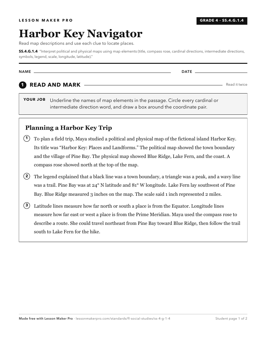
A ready-to-print activity worksheet aligned to SS.4.G.1.4, with an answer key for the teacher on its own page. No account needed.
PDF, US Letter, prints cleanly in black and white.
Download the worksheetKeep exploring
Related Standards
- SS.1.G.1.3
Construct a basic map using key elements including cardinal directions and map symbols.
- SS.3.G.1.2
Review basic map elements (coordinate grid, cardinal and intermediate directions, title, compass rose, scale, key or legend with symbols).
- SS.1.G.1.2
Identify key elements (i.e., compass rose, cardinal directions, title, key, or legend with symbols) of maps and globes.
- SS.2.G.1.1
Use different types of maps (political, physical, and thematic) to identify map elements.
Turn this exact standard into a lesson
Grade, subject, topic, and the complete standard are prefilled. Create one free, no account needed.
Also for this standard:Make a WorksheetMake a QuizMake a Sub Lesson