Florida SS.3.G.1.2
The Standard
- SS.3.G.1
- The World in Spatial Terms
Review basic map elements (coordinate grid, cardinal and intermediate directions, title, compass rose, scale, key or legend with symbols).
Florida Next Generation Sunshine State Standards for Social Studies
Teacher's field guide
What This Standard Means
What Students Need to Do
- Students read a map by using its title, compass rose, grid, scale, and legend. They locate places and describe direction, distance, and position.
What Mastery Looks Like
- Students can locate a place at a given grid coordinate and describe its position using cardinal or intermediate directions. They can interpret symbols and estimate distance with the scale.
Common Misconceptions
- Students may reverse the letter and number in a grid coordinate or confuse east and west. They may treat symbols as pictures rather than checking the legend. They may measure distance without using the map scale.
How to Assess It
- Give students a small map and ask: What is at B4, which direction is it from the school, and how far away is it?
Lesson moves
Ways to Teach It
Tape a grid on the floor, place labeled landmarks in squares, and have students move between them using direction cards.
Show a simple park map and ask students to write directions from the entrance to the playground using two intermediate directions.
Run a map scavenger hunt where pairs solve grid, symbol, direction, and scale clues to find a hidden paper token.
Use a local street map to plan a route from school to a library, then estimate the distance with the scale.
Free download
Printable SS.3.G.1.2 Worksheet
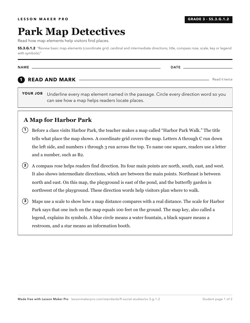
A ready-to-print activity worksheet aligned to SS.3.G.1.2, with an answer key for the teacher on its own page. No account needed.
PDF, US Letter, prints cleanly in black and white.
Download the worksheetKeep exploring
Related Standards
- SS.1.G.1.3
Construct a basic map using key elements including cardinal directions and map symbols.
- SS.4.G.1.4
Interpret political and physical maps using map elements (title, compass rose, cardinal directions, intermediate directions, symbols, legend, scale, longitude, ...
- SS.1.G.1.2
Identify key elements (i.e., compass rose, cardinal directions, title, key, or legend with symbols) of maps and globes.
- SS.2.G.1.1
Use different types of maps (political, physical, and thematic) to identify map elements.
Turn this exact standard into a lesson
Grade, subject, topic, and the complete standard are prefilled. Create one free, no account needed.
Also for this standard:Make a WorksheetMake a QuizMake a Sub Lesson