Florida SS.6.G.2.7
The Standard
- SS.6.G.2
- Understand physical and cultural characteristics of places.
Interpret choropleths or dot-density maps to explain the distribution of population in the ancient world.
Florida Next Generation Sunshine State Standards for Social Studies
Teacher's field guide
What This Standard Means
What Students Need to Do
- Students use map titles, legends, color ranges, and dot values to find where ancient populations were concentrated or sparse. They compare patterns with rivers, coasts, farmland, terrain, and trade routes, then support an explanation with map evidence.
What Mastery Looks Like
- A student correctly explains what each shade or dot represents and identifies high and low population areas. The student gives a supported reason for a cluster, such as water access or fertile soil, without treating estimates as exact counts.
Common Misconceptions
- Students often assume every dot marks one person or an exact settlement, even when the legend says one dot represents thousands. They may read darker shading as larger land area, ignore the legend, or explain clusters without citing map evidence.
How to Assess It
- Give students one choropleth and one dot-density map of ancient Egypt. Ask them to identify a population cluster and explain it using the legend and one geographic feature.
Lesson moves
Ways to Teach It
Place tracing paper over a Nile population map, trace rivers and population clusters, then label two places where the patterns overlap.
Ask, "Why did some ancient regions support more people than others?" Students answer with one map detail and one geographic factor.
Run a map claim sort: teams match population claims to choropleth or dot-density maps and reject one claim unsupported by the legend.
Compare an ancient Egypt population map with a current Egypt map, then list one lasting pattern and one major change.
Free download
Printable SS.6.G.2.7 Worksheet
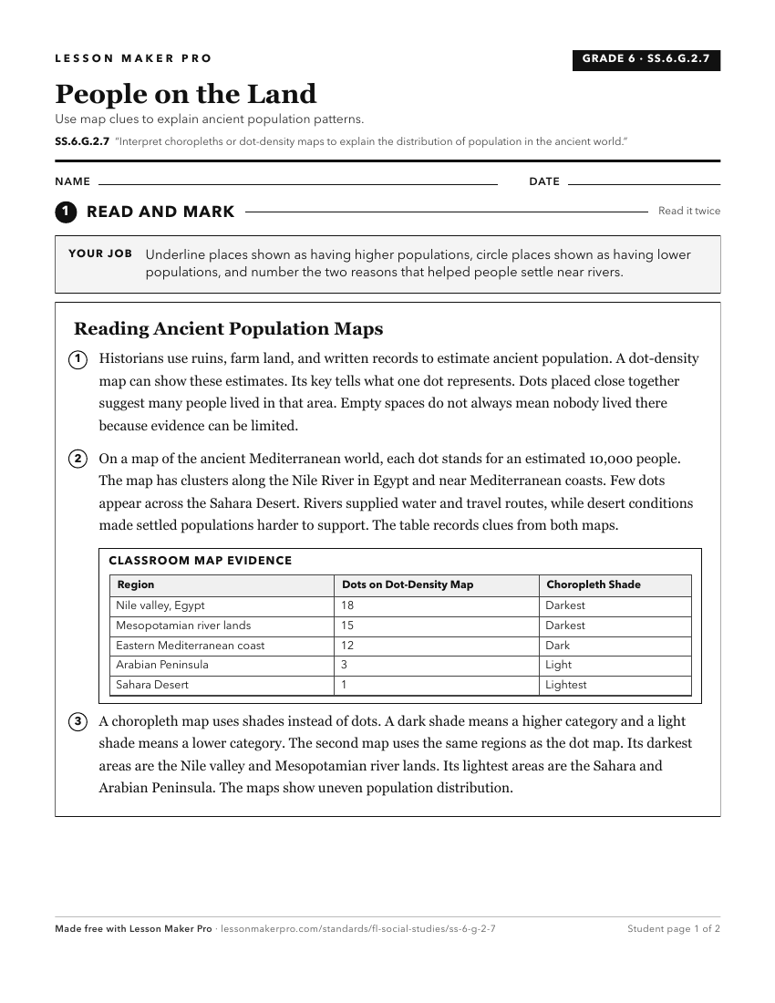
A ready-to-print activity worksheet aligned to SS.6.G.2.7, with an answer key for the teacher on its own page. No account needed.
PDF, US Letter, prints cleanly in black and white.
Download the worksheetKeep exploring
Related Standards
- SS.6.G.1.7
Use maps to identify characteristics and boundaries of ancient civilizations that have shaped the world today.
- SS.6.G.6.2
Compare maps of the world in ancient times with current political maps.
- SS.6.G.4.4
Map and analyze the impact of the spread of various belief systems in the ancient world.
- SS.6.G.3.2
Analyze the impact of human populations on the ancient world's ecosystems.
Turn this exact standard into a lesson
Grade, subject, topic, and the complete standard are prefilled. Create one free, no account needed.
Also for this standard:Make a WorksheetMake a QuizMake a Sub Lesson