Florida SS.6.G.2.2
The Standard
- SS.6.G.2
- Understand physical and cultural characteristics of places.
Differentiate between continents, regions, countries, and cities in order to understand the complexities of regions created by civilizations.
Florida Next Generation Sunshine State Standards for Social Studies
Teacher's field guide
What This Standard Means
What Students Need to Do
- Students classify places as cities, countries, regions, or continents. They explain how a city fits within larger areas and how cultural regions may cross national borders.
What Mastery Looks Like
- A student can correctly place examples such as Cairo, Egypt, North Africa, and Africa into geographic levels. The student can explain that regions are grouped by shared traits, not only political borders.
Common Misconceptions
- Students may treat countries and continents as the same type of place. They may also assume every region has official borders or fits entirely inside one country.
How to Assess It
- Give students the names Tokyo, Japan, East Asia, and Asia. Ask them to label each geographic level and arrange them from smallest to largest.
Lesson moves
Ways to Teach It
Give pairs four map cards labeled Cairo, Egypt, North Africa, and Africa, then ask them to arrange the cards from smallest to largest.
Ask students to explain in writing: Why can one country belong to several regions?
Play Place Ladder: name a city, and teams earn points by naming its country, region, and continent.
Have students use an atlas and a news dateline to mark the city, country, region, and continent connected to the story.
Free download
Printable SS.6.G.2.2 Worksheet
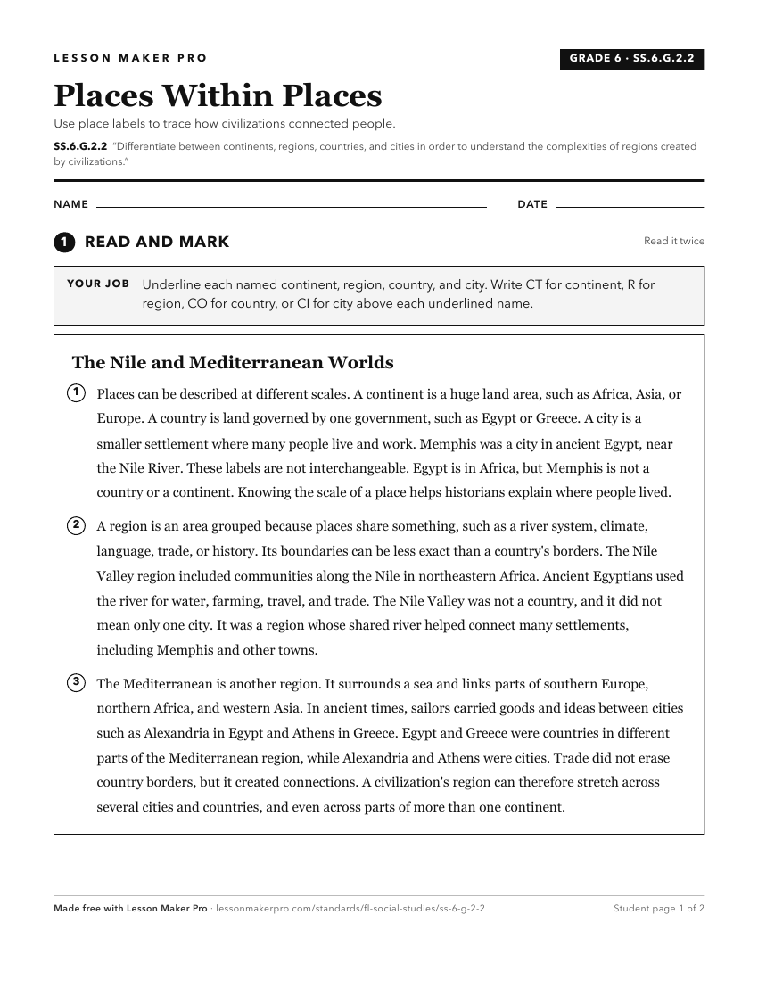
A ready-to-print activity worksheet aligned to SS.6.G.2.2, with an answer key for the teacher on its own page. No account needed.
PDF, US Letter, prints cleanly in black and white.
Download the worksheetKeep exploring
Related Standards
- SS.K.G.1.4
Differentiate land and water features on simple maps and globes.
- SS.6.G.1.6
Use a map to identify major bodies of water of the world and explain ways they have impacted the development of civilizations.
- SS.6.G.5.2
Use geographic terms and tools to explain why ancient civilizations developed networks of highways, waterways, and other transportation linkages.
- SS.6.G.1.7
Use maps to identify characteristics and boundaries of ancient civilizations that have shaped the world today.
Turn this exact standard into a lesson
Grade, subject, topic, and the complete standard are prefilled. Create one free, no account needed.
Also for this standard:Make a WorksheetMake a QuizMake a Sub Lesson