Florida SS.4.G.1.1
The Standard
- SS.4.G.1
- The World in Spatial Terms
Identify physical features of Florida.
Florida Next Generation Sunshine State Standards for Social Studies
Teacher's field guide
What This Standard Means
What Students Need to Do
- Students identify and locate major natural features on a map of Florida. They name landforms and bodies of water using map labels and directions.
What Mastery Looks Like
- Students can label the Florida peninsula, Florida Keys, Everglades, Lake Okeechobee, St. Johns River, Atlantic Ocean, and Gulf of Mexico. They distinguish natural features from cities and borders.
Common Misconceptions
- Students may confuse physical features with cities, roads, or county lines. They may also reverse the Atlantic and Gulf coasts or mistake the peninsula for an island.
How to Assess It
- Give students an unlabeled Florida map. Ask them to label five physical features and circle one landform and one body of water.
Lesson moves
Ways to Teach It
Shape Florida from clay, then add blue yarn for rivers and water, sand for coasts, and labels for major features.
Ask students to write three location clues for a Florida feature, then have classmates identify it.
Play a map relay where teams place feature cards on a large outline map of Florida.
Show a Florida hurricane forecast map and ask students which coasts, lakes, rivers, or wetlands lie near the storm path.
Free download
Printable SS.4.G.1.1 Worksheet
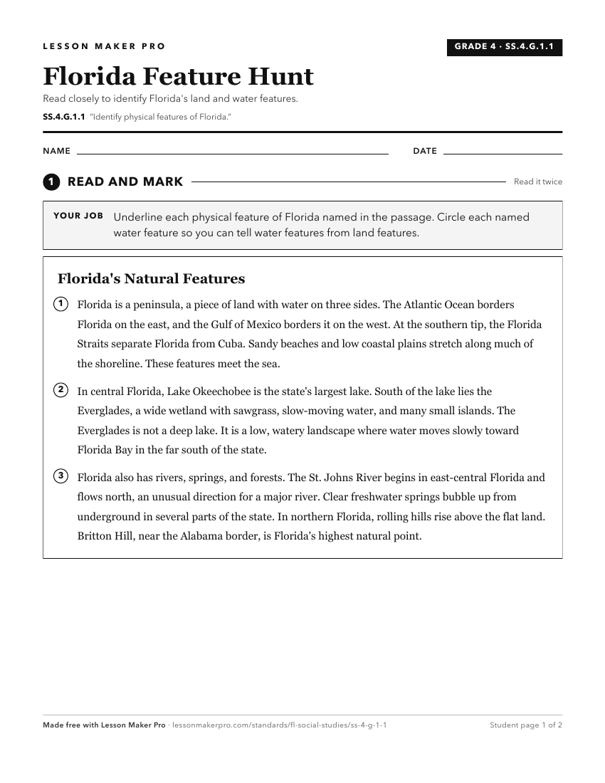
A ready-to-print activity worksheet aligned to SS.4.G.1.1, with an answer key for the teacher on its own page. No account needed.
PDF, US Letter, prints cleanly in black and white.
Download the worksheetKeep exploring
Related Standards
Turn this exact standard into a lesson
Grade, subject, topic, and the complete standard are prefilled. Create one free, no account needed.
Also for this standard:Make a WorksheetMake a QuizMake a Sub Lesson