Florida SS.3.G.1.6
The Standard
- SS.3.G.1
- The World in Spatial Terms
Use maps to identify different types of scale to measure distances between two places.
Florida Next Generation Sunshine State Standards for Social Studies
Teacher's field guide
What This Standard Means
What Students Need to Do
- Students read bar, line, and word scales on maps. They measure a route, then convert that map length into the actual distance between locations.
What Mastery Looks Like
- Students select the correct scale and use a ruler or marked strip accurately. They label the answer with the correct unit and can explain their steps.
Common Misconceptions
- Students may report the ruler measurement instead of converting it with the scale. They may start measuring above zero, mix miles and kilometers, or count scale marks incorrectly.
How to Assess It
- Give students a simple map with a bar scale and two marked cities. Ask, “About how many miles apart are the cities, and how did you find out?”
Lesson moves
Ways to Teach It
Give pairs a Florida map, ruler, string, and scale bar to measure straight and curved routes between three cities.
Ask students to write why two maps can show the same places at different sizes but give the same actual distance.
Play Scale Match by having teams pair map measurements, scale cards, and actual distances, then explain each match.
Have students use a local road map to estimate the distance from school to a library, park, or fire station.
Free download
Printable SS.3.G.1.6 Worksheet
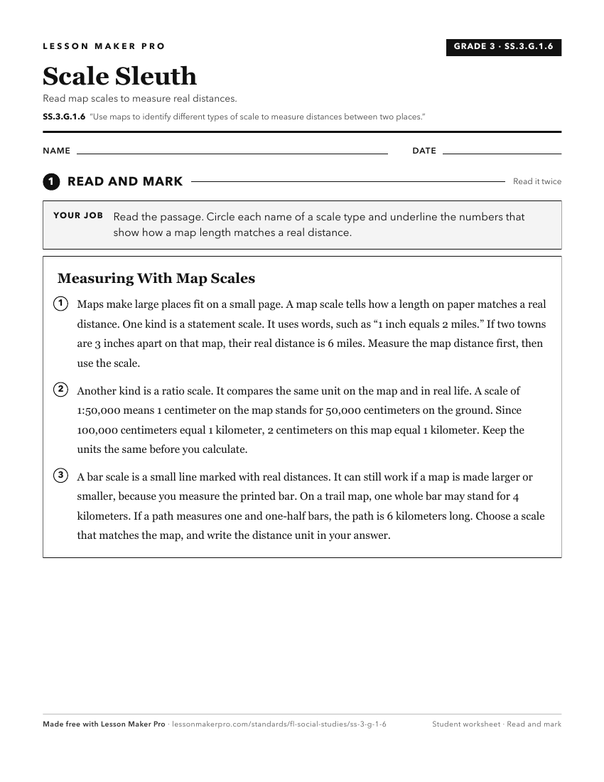
A ready-to-print activity worksheet aligned to SS.3.G.1.6, with an answer key for the teacher on its own page. No account needed.
PDF, US Letter, prints cleanly in black and white.
Download the worksheetKeep exploring
Related Standards
- SS.3.G.1.5
Compare maps and globes to develop an understanding of the concept of distortion.
- SS.6.G.1
Understand how to use maps and other geographic representations, tools, and technology to report information.
- SS.6.G.1.5
Use scale, cardinal and intermediate directions, and estimation of distances between places on current and ancient maps of the world.
- SS.2.G.1.1
Use different types of maps (political, physical, and thematic) to identify map elements.
Turn this exact standard into a lesson
Grade, subject, topic, and the complete standard are prefilled. Create one free, no account needed.
Also for this standard:Make a WorksheetMake a QuizMake a Sub Lesson