Florida SS.1.G.1.5
The Standard
- SS.1.G.1
- The World in Spatial Terms
Locate on maps and globes the student’s local community, the state of Florida, the Atlantic Ocean, and the Gulf of America (formerly Gulf of Mexico).
Florida Next Generation Sunshine State Standards for Social Studies
Teacher's field guide
What This Standard Means
What Students Need to Do
- Students use maps and globes to find their community and Florida. They use Florida’s shape and coastlines to identify the Atlantic Ocean and Gulf of America.
What Mastery Looks Like
- Given a labeled or simple unlabeled map, a student can point to their community, Florida, and both nearby bodies of water. The student can find the same places on a globe.
Common Misconceptions
- Students may confuse their city with the whole state or point to any blue area as the correct body of water. They may also reverse which body of water is east or west of Florida.
How to Assess It
- Give each student a Florida map and globe, then say, “Point to your community, Florida, the Atlantic Ocean, and the Gulf of America.”
Lesson moves
Ways to Teach It
Place a large Florida map on the floor and have students attach labeled sticky notes to the community, state, ocean, and gulf.
Ask students to write or tell which body of water lies east of Florida and which lies west.
Play a pointing game using maps and globes, calling out one location at a time for students to find.
Show a local weather map and ask students to locate home, Florida, and the nearby water that may affect weather.
Free download
Printable SS.1.G.1.5 Worksheet
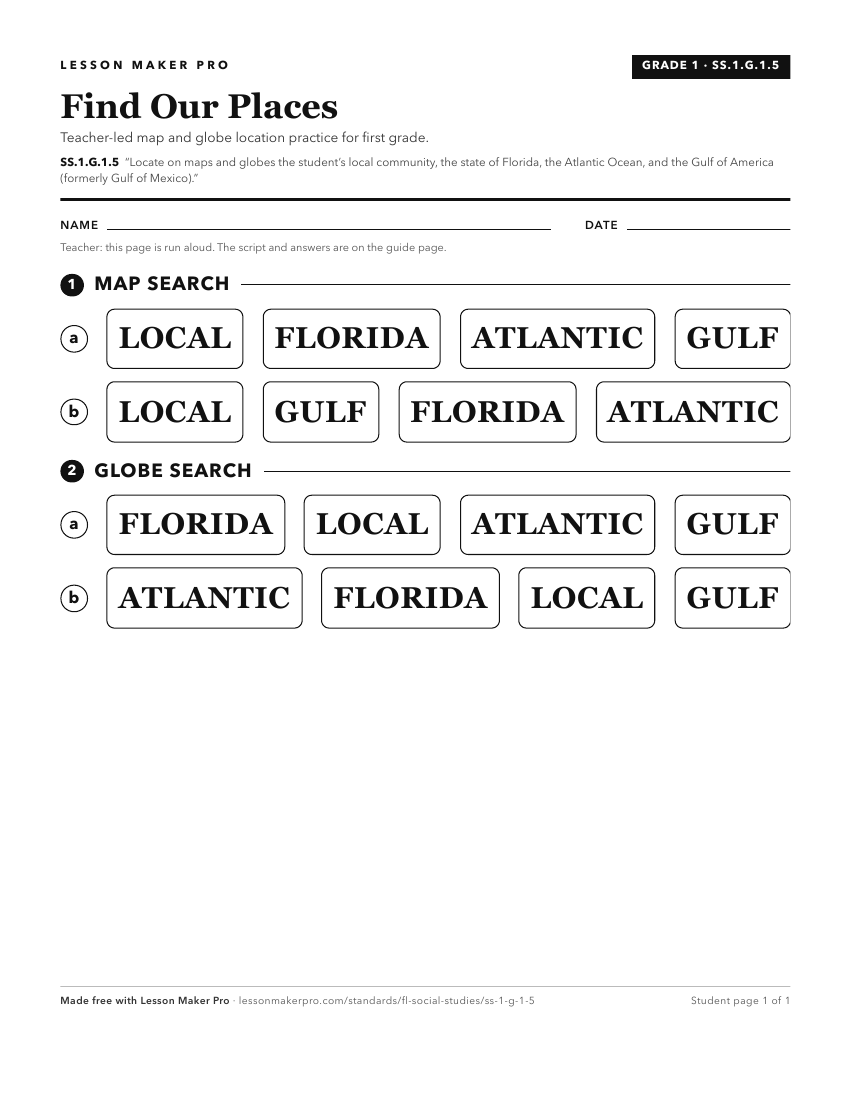
A ready-to-print activity worksheet aligned to SS.1.G.1.5, with an answer key for the teacher on its own page. No account needed.
PDF, US Letter, prints cleanly in black and white.
Download the worksheetKeep exploring
Related Standards
- SS.2.G.1.2
Using maps and globes, locate the student’s hometown, Florida, North America, and both the state and national capitals.
- SS.1.G.1.1
Use physical, political, and cultural maps to locate places in Florida.
- SS.4.G.1.2
Locate and label cultural features on a Florida map.
- SS.4.G.1.1
Identify physical features of Florida.
Turn this exact standard into a lesson
Grade, subject, topic, and the complete standard are prefilled. Create one free, no account needed.
Also for this standard:Make a WorksheetMake a QuizMake a Sub Lesson