Alabama Social Studies SS24.3.2
Standard Cluster
Explain how geographic features, including land regions and river systems, connect Alabama to other states. 2a Interpret thematic maps to compare and contrast Alabama to other states. 2b Describe the geographic features and natural resources of Alabama regions, including the Alabama Ridge and Valley, Black Belt, Cumberland Plateau, Highland Rim, Lower Coastal Plain, Piedmont, and Upper Coastal Plain. 2c Identify major river systems of Alabama and their points of origin, including the Alabama, Black Warrior, Cahaba, Chattahoochee, Coosa, Mobile, Perdido, Tallapoosa, Tennessee, and Tombigbee Rivers.
2024 Alabama Course of Study: Social Studies
Cluster contents
Standards in This Cluster
SS24.3.2 is a cluster heading. These are the individual standards under it.
- SS24.3.2a
Interpret thematic maps to compare and contrast Alabama to other states.
- SS24.3.2b
Describe the geographic features and natural resources of Alabama regions, including the Alabama Ridge and Valley, Black Belt, Cumberland Plateau, Highland Rim,...
- SS24.3.2c
Identify major river systems of Alabama and their points of origin, including the Alabama, Black Warrior, Cahaba, Chattahoochee, Coosa, Mobile, Perdido, Tallapo...
Teacher's field guide
What This Cluster Means
What Students Need to Do
- Students use thematic maps to compare Alabama with nearby states. They describe the land and resources of Alabama's seven regions. They find where major rivers begin and trace how the rivers connect Alabama to other states.
What Mastery Looks Like
- A student uses a map key to compare forest cover in Alabama and Georgia. They identify fertile soil as a Black Belt resource and trace the Coosa River from its start in Georgia into Alabama.
Common Misconceptions
- Students may assume a river begins where it enters Alabama, rather than farther upstream. They may treat a land region as a county or assume a region stops at the state line. On a thematic map, they may mistake a darker color for a higher value without checking the key.
How to Assess It
- Give students a forest-cover map and a labeled map of Alabama's rivers and regions. Ask them to mark where the Coosa begins, name one Black Belt resource, and write one forest-cover comparison between Alabama and Georgia.
Lesson moves
Ways to Teach It
Give pairs a Southeast outline map and an atlas; have them trace the Coosa River from Rome, Georgia, into Alabama with blue yarn.
Project forest-cover maps of Alabama and Georgia; ask, 'Where does forest cover differ, and what does the map key tell you?'
Run a map relay: teams place seven region-name cards on an Alabama outline map, then match resource cards to the Black Belt and Piedmont.
On a Tennessee River map, trace a barge trip from Florence, Alabama, to Paducah, Kentucky, and mark each state it crosses.
Free download
Printable SS24.3.2 Worksheet
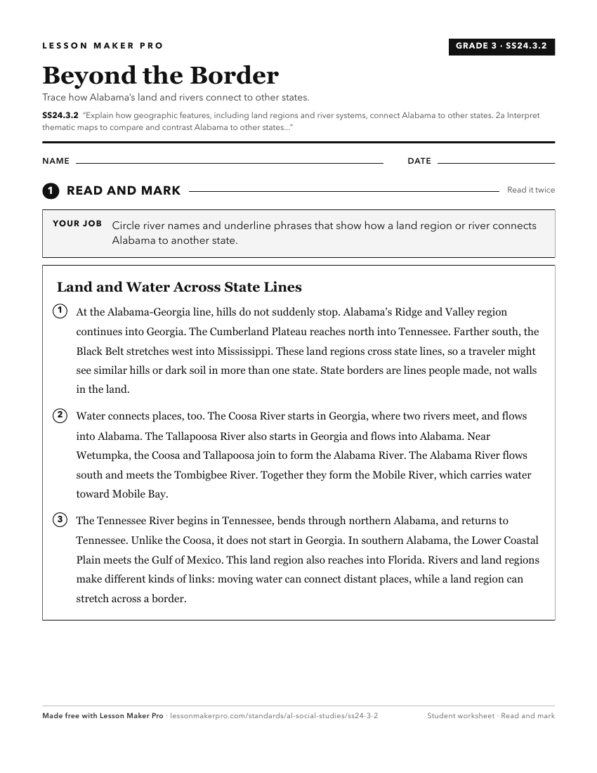
A ready-to-print activity worksheet aligned to SS24.3.2, with an answer key for the teacher on its own page. No account needed.
PDF, US Letter, prints cleanly in black and white.
Download the worksheetKeep exploring
Related Standards
- SS24.AS.1
Identify the location of Alabama’s major geographic regions and describe the characteristics that distinguish them from each other.
- SS24.AS.21a
Describe ways in which Alabama’s geography contributes to the state’s present-day tourism industry.
- SS24.AS.2
Explain how Alabama’s geography contributes to the biodiversity of the state.
Turn this cluster into a lesson
Grade, subject, topic, and the complete cluster are prefilled. Create one free, no account needed.
Also for this cluster:Make a WorksheetMake a QuizMake a Sub Lesson