Alabama Social Studies SS24.AS.2
The Standard
Explain how Alabama’s geography contributes to the biodiversity of the state.
2024 Alabama Course of Study: Social Studies
Teacher's field guide
What This Standard Means
What Students Need to Do
- Students locate Alabama’s hills, rivers, sandy coastal plain, and wetlands on a map. They explain how water, soil, and landforms create different habitats. They connect those habitats to plants and animals that live there.
What Mastery Looks Like
- A student can explain why a freshwater mussel needs a river and why a gopher tortoise lives in sandy uplands. They use map features and habitat conditions to support both answers.
Common Misconceptions
- Students may picture Alabama as flat and miss the hills in the north. They may place saltwater marsh animals in inland rivers or assume all animals can live in any part of the state.
How to Assess It
- On a labeled Alabama habitat map, circle a river and a sandy coastal plain area. Write which place better suits a freshwater mussel and which suits a gopher tortoise, with one reason for each.
Lesson moves
Ways to Teach It
Give students a labeled Alabama habitat map and cave salamander, mussel, and tortoise cards; have them place each card and explain why.
Write two sentences explaining why an Alabama river valley and a Gulf Coast marsh support different species.
Play habitat bingo: call out 'sandy soil,' 'flowing freshwater,' or 'tidal water'; students cover matching Alabama habitats on their boards.
Compare photos of a local creek and a Gulf Coast marsh, then choose a site for a mussel survey and a marsh bird count.
Free download
Printable SS24.AS.2 Worksheet
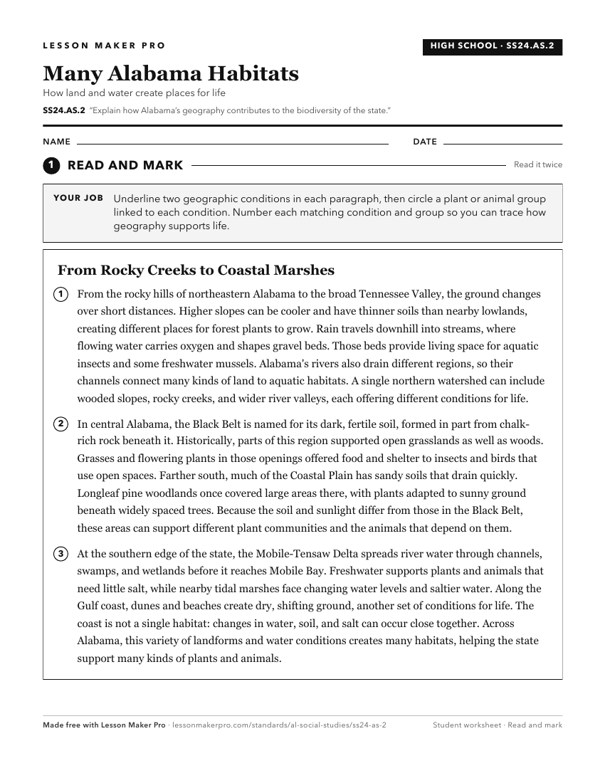
A ready-to-print activity worksheet aligned to SS24.AS.2, with an answer key for the teacher on its own page. No account needed.
PDF, US Letter, prints cleanly in black and white.
Download the worksheetKeep exploring
Related Standards
- SS24.AS.21a
Describe ways in which Alabama’s geography contributes to the state’s present-day tourism industry.
- SS24.2.6
Explain how Alabama’s natural resources are utilized in its economy.
- SS24.AS.1a
Summarize how the geography and biodiversity of Alabama formed and evolved during the Paleozoic, Mesozoic, and Cenozoic Periods.
- SS24.3.2
Explain how geographic features, including land regions and river systems, connect Alabama to other states.
Turn this exact standard into a lesson
Grade, subject, topic, and the complete standard are prefilled. Create one free, no account needed.
Also for this standard:Make a WorksheetMake a QuizMake a Sub Lesson