Alabama Social Studies SS24.3.2b
The Standard
- SS24.3.2
- Explain how geographic features, including land regions and river systems, connect Alabama to other states.
Describe the geographic features and natural resources of Alabama regions, including the Alabama Ridge and Valley, Black Belt, Cumberland Plateau, Highland Rim, Lower Coastal Plain, Piedmont, and Upper Coastal Plain.
2024 Alabama Course of Study: Social Studies
Teacher's field guide
What This Standard Means
What Students Need to Do
- Students find Alabama's seven regions on a map and use hills, plains, rivers, and coastlines to tell them apart. They connect each region to a resource found there, such as coal or fertile soil.
What Mastery Looks Like
- A student labels all seven regions on a blank Alabama map. For each, they give a landscape clue and a matching resource, such as coal on the Cumberland Plateau or fertile soil in the Black Belt.
Common Misconceptions
- Students may put Gulf beaches in the Piedmont or confuse the two coastal plains. They may call coal a landform instead of a resource, or miss that the Black Belt is named for its dark soil.
How to Assess It
- Show a blank Alabama region map with the Black Belt and Cumberland Plateau shaded. Ask students to name both, describe the land in each, and identify one natural resource in each.
Lesson moves
Ways to Teach It
Give pairs a blank Alabama map and seven region cards; have them place each card, then add a landform sketch and resource symbol.
Ask pairs, 'Why might a farmer choose the Black Belt while a miner chooses the Cumberland Plateau?' Require one soil or rock clue.
Play region match: teams pair seven map tiles with landscape photos and resource cards, then explain two matches before checking an answer key.
Use Alabama road and region maps to trace a drive from the Cumberland Plateau's coalfields to Gulf fisheries; mark three landscape changes.
Free download
Printable SS24.3.2b Worksheet
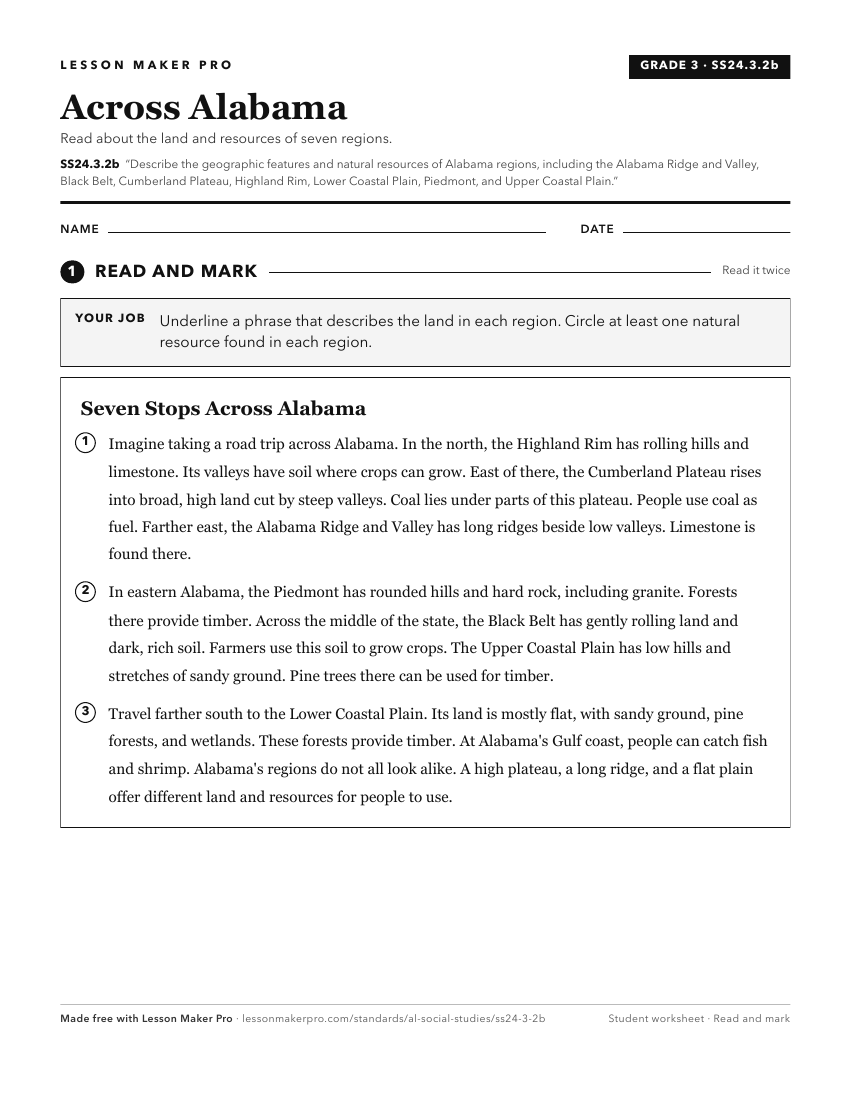
A ready-to-print activity worksheet aligned to SS24.3.2b, with an answer key for the teacher on its own page. No account needed.
PDF, US Letter, prints cleanly in black and white.
Download the worksheetKeep exploring
Related Standards
- SS24.AS.1
Identify the location of Alabama’s major geographic regions and describe the characteristics that distinguish them from each other.
- SS24.AS.2
Explain how Alabama’s geography contributes to the biodiversity of the state.
- SS24.2.6
Explain how Alabama’s natural resources are utilized in its economy.
- SS24.3.2
Explain how geographic features, including land regions and river systems, connect Alabama to other states.
Turn this exact standard into a lesson
Grade, subject, topic, and the complete standard are prefilled. Create one free, no account needed.
Also for this standard:Make a WorksheetMake a QuizMake a Sub Lesson