Alabama Social Studies SS24.AS.1
Standard Cluster
Identify the location of Alabama’s major geographic regions and describe the characteristics that distinguish them from each other. 1a Summarize how the geography and biodiversity of Alabama formed and evolved during the Paleozoic, Mesozoic, and Cenozoic Periods.
2024 Alabama Course of Study: Social Studies
Cluster contents
Standards in This Cluster
SS24.AS.1 is a cluster heading. These are the individual standards under it.
Teacher's field guide
What This Cluster Means
What Students Need to Do
- Students locate Alabama’s major land regions on a map and tell them apart by terrain and rocks. They explain how seas, mountain building, sediment, and erosion changed the land and its habitats over three geologic eras.
What Mastery Looks Like
- A student can place the Coastal Plain, Piedmont, Ridge and Valley, Appalachian Plateau, and Highland Rim on a map and name a feature of each. They can connect Paleozoic mountain building, Mesozoic Gulf sediments, and Cenozoic erosion to changes in habitats.
Common Misconceptions
- Students may place the Coastal Plain only at the shoreline, though it extends far inland. They may think today’s ridges and forests have looked the same since the Paleozoic.
How to Assess It
- Give students a blank Alabama map and three era labels. Ask them to label five regions, note a physical trait for two, and write one land or habitat change for each era.
Lesson moves
Ways to Teach It
Use clay on a printed relief map to model Appalachian ridges, Piedmont hills, and the low Coastal Plain, then label each region.
Have students explain in writing why a Paleozoic marine fossil could turn up in northern Alabama, using a geologic map as evidence.
Give pairs region cards with photos and clues; have them place each card on an Alabama outline map and defend one choice.
Compare a north Alabama road-cut photo with a Mobile Bay shoreline photo, then name the landforms and likely habitats at each site.
Free download
Printable SS24.AS.1 Worksheet
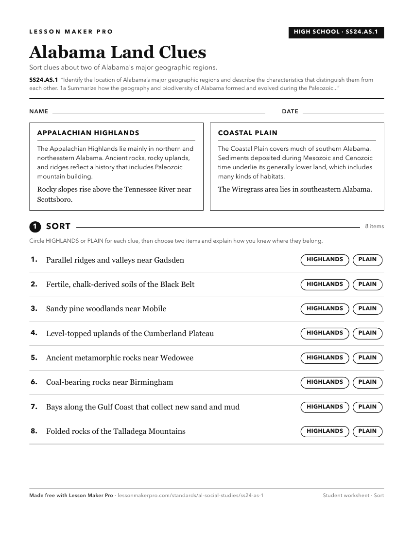
A ready-to-print activity worksheet aligned to SS24.AS.1, with an answer key for the teacher on its own page. No account needed.
PDF, US Letter, prints cleanly in black and white.
Download the worksheetKeep exploring
Related Standards
- SS24.3.3a
Locate state and national parks within Alabama and explain their historical and economic significance.
- SS24.3.2b
Describe the geographic features and natural resources of Alabama regions, including the Alabama Ridge and Valley, Black Belt, Cumberland Plateau, Highland Rim,...
- SS24.AS.2
Explain how Alabama’s geography contributes to the biodiversity of the state.
- SS24.3.2
Explain how geographic features, including land regions and river systems, connect Alabama to other states.
Turn this cluster into a lesson
Grade, subject, topic, and the complete cluster are prefilled. Create one free, no account needed.
Also for this cluster:Make a WorksheetMake a QuizMake a Sub Lesson