Alabama Science 6.10
Standard Cluster
Use observations and data from investigations to demonstrate how the sun, air, land, and water affect Earth’s climate. a. Develop models demonstrating how unequal heating and the rotation of the Earth cause local and global wind systems and oceanic currents. b. Construct explanations of how the tilt and curvature of the Earth cause unequal heating of its surface, resulting in regional climates based on patterns of latitude. c. Construct an explanation of how altitude, geothermal activity, and oceanic distribution of heat produce typical regional climate patterns.
2023 Alabama Course of Study: Science · Earth’s Systems: Energy and Weather
Cluster contents
Standards in This Cluster
6.10 is a cluster heading. These are the individual standards under it.
- 6.10.a
Develop models demonstrating how unequal heating and the rotation of the Earth cause local and global wind systems and oceanic currents.
- 6.10.b
Construct explanations of how the tilt and curvature of the Earth cause unequal heating of its surface, resulting in regional climates based on patterns of lati...
- 6.10.c
Construct an explanation of how altitude, geothermal activity, and oceanic distribution of heat produce typical regional climate patterns.
Teacher's field guide
What This Cluster Means
What Students Need to Do
- Students use temperature data to show that sunlight heats land and water differently. They use models to explain how Earth's tilt, curved surface, and rotation affect heating, winds, and ocean currents. They explain how elevation, ocean heat, and geothermal activity affect temperatures in different places.
What Mastery Looks Like
- A student uses a lamp and tilted globe to show why sunlight reaches different latitudes at different angles. Their model shows warm air rising, cooler air moving in, and rotation bending winds and currents. They use maps and temperature data to separate broad climate patterns from local geothermal heating.
Common Misconceptions
- Students may think seasons happen because Earth moves closer to the sun. They may assume land and water heat at the same rate or that winds always move in straight lines. Some mistake warm geothermal ground for proof that an entire region has a warm climate.
How to Assess It
- Exit ticket: Two inland sites at the same elevation record 30°C at 20°N and 18°C at 50°N on the June solstice. Sketch sunlight on a tilted globe and explain how its angle helps account for the difference.
Lesson moves
Ways to Teach It
Aim a lamp at a tilted globe, then at sand and water trays; sketch the light spread and record both temperatures after ten minutes.
Compare Quito and Guayaquil on a map; explain how elevation and nearby ocean water affect their temperatures despite similar latitudes.
Place warm and cool zone cards on a spinning globe; move arrow tokens to show rising air, bending winds, and wind-driven currents.
Compare maps of Iceland's geothermal hot spots and the North Atlantic Current; identify where heating is local and where ocean heat shapes climate.
Free download
Printable 6.10 Worksheet
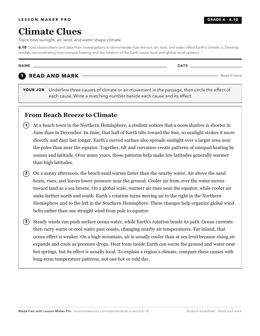
A ready-to-print activity worksheet aligned to 6.10, with an answer key for the teacher on its own page. No account needed.
PDF, US Letter, prints cleanly in black and white.
Download the worksheetKeep exploring
Related Standards
- ESS.7.b
Plan and carry out an investigation to determine the differential heating of land and water and explain how these differences create changes in local and global...
- 6.8.a
Plan and carry out an investigation to determine the differences in rates of energy transfer from the sun to air, to land, and to water via conduction, convecti...
Turn this cluster into a lesson
Grade, subject, topic, and the complete cluster are prefilled. Create one free, no account needed.
Also for this cluster:Make a WorksheetMake a QuizMake a Sub Lesson