Alabama Science 6.10.b
The Standard
- 6.10
- Use observations and data from investigations to demonstrate how the sun, air, land, and water affect Earth’s climate.
Construct explanations of how the tilt and curvature of the Earth cause unequal heating of its surface, resulting in regional climates based on patterns of latitude.
2023 Alabama Course of Study: Science
Teacher's field guide
What This Standard Means
What Students Need to Do
- Students use a globe or diagram to explain why sunlight heats some latitudes more than others. They show how Earth's curve spreads sunlight and how its tilt changes sunlight angle and daylight hours through the year.
What Mastery Looks Like
- A student can explain why areas near the equator are generally warmer than areas near the poles. They can use Earth's tilt to explain seasonal changes without claiming that winter happens because Earth is farther from the Sun.
Common Misconceptions
- Students may think every place gets the same amount of sunlight each day. Some think Earth's distance from the Sun causes the seasons, or that climate means today's weather.
How to Assess It
- On an exit ticket, give students a globe sketch with sunlight coming from one side. Ask: Why is the equator generally warmer than the poles, and how does Earth's tilt change heating during the year?
Lesson moves
Ways to Teach It
Hold a flashlight steady on a tilted globe; compare brightness on equal-sized tape squares near the equator and pole.
Ask students to write why June is warmer in the Northern Hemisphere while the Southern Hemisphere has winter.
Give pairs latitude, sunlight angle, and temperature cards to match, then have them explain one match.
Compare monthly temperature charts for Singapore, New Orleans, and Fairbanks, then link each city's latitude to its yearly temperature pattern.
Free download
Printable 6.10.b Worksheet
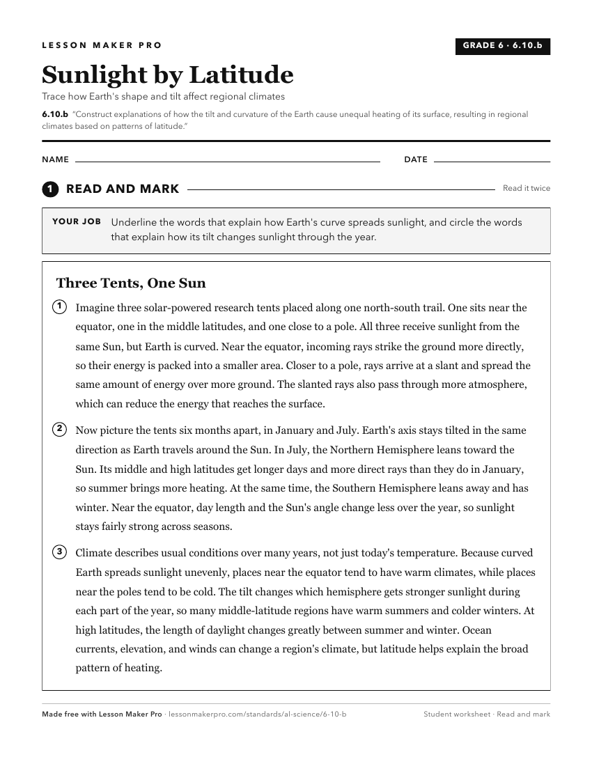
A ready-to-print activity worksheet aligned to 6.10.b, with an answer key for the teacher on its own page. No account needed.
PDF, US Letter, prints cleanly in black and white.
Download the worksheetKeep exploring
Related Standards
- 6.10.c
Construct an explanation of how altitude, geothermal activity, and oceanic distribution of heat produce typical regional climate patterns.
- 6.10.a
Develop models demonstrating how unequal heating and the rotation of the Earth cause local and global wind systems and oceanic currents.
- ESS.7.b
Plan and carry out an investigation to determine the differential heating of land and water and explain how these differences create changes in local and global...
- 6.1.a
Construct an evidence-based explanation of how the relative positions of the sun and Earth result in observable phenomena, including day and night cycles, lengt...
Turn this exact standard into a lesson
Grade, subject, topic, and the complete standard are prefilled. Create one free, no account needed.
Also for this standard:Make a WorksheetMake a QuizMake a Sub Lesson