Alabama Science 6.10.a
The Standard
- 6.10
- Use observations and data from investigations to demonstrate how the sun, air, land, and water affect Earth’s climate.
Develop models demonstrating how unequal heating and the rotation of the Earth cause local and global wind systems and oceanic currents.
2023 Alabama Course of Study: Science
Teacher's field guide
What This Standard Means
What Students Need to Do
- Students make models of a sea breeze, global winds, and surface ocean currents. They show how uneven heating moves air, how winds push surface water, and how Earth’s rotation bends large-scale paths.
What Mastery Looks Like
- A student can label warm land, rising air, and wind blowing from sea to land on an afternoon coast diagram. On a world map, they can draw curved wind paths and show winds pushing surface water.
Common Misconceptions
- Some students draw the afternoon sea breeze blowing from land to water or show warm air sinking. Others think tides alone cause surface currents or that Earth’s rotation causes the daily sea breeze.
How to Assess It
- Give students a coast diagram and a Northern Hemisphere map. Ask them to draw an afternoon sea breeze, a northeast trade wind, and a surface current it helps drive, then label heating and the effect of rotation.
Lesson moves
Ways to Teach It
Warm trays of sand and water under a lamp, compare temperatures, then use paper arrows to model an afternoon sea breeze.
Ask students to write: Why might beach wind blow toward land in the afternoon while winds on a world map curve?
Give pairs blank world maps and wind arrow cards to place, then have them check their choices against a trade wind map.
Compare a coastal wind forecast with an ocean current map, and ask why beach winds shift daily while major currents follow broad paths.
Free download
Printable 6.10.a Worksheet
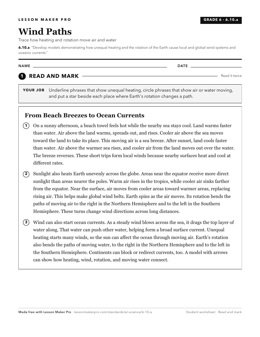
A ready-to-print activity worksheet aligned to 6.10.a, with an answer key for the teacher on its own page. No account needed.
PDF, US Letter, prints cleanly in black and white.
Download the worksheetKeep exploring
Related Standards
- 6.10.b
Construct explanations of how the tilt and curvature of the Earth cause unequal heating of its surface, resulting in regional climates based on patterns of lati...
- ESS.7.b
Plan and carry out an investigation to determine the differential heating of land and water and explain how these differences create changes in local and global...
- 6.10.c
Construct an explanation of how altitude, geothermal activity, and oceanic distribution of heat produce typical regional climate patterns.
- ESS.7.d
Use data to construct an explanation of the role of pressure differences in the development of wind systems.
Turn this exact standard into a lesson
Grade, subject, topic, and the complete standard are prefilled. Create one free, no account needed.
Also for this standard:Make a WorksheetMake a QuizMake a Sub Lesson