Virginia SOL WG.9
SOL Standard (Skills Cluster)
The student will analyze the characteristics of the regions of South Asia and Southeast Asia by identifying and analyzing the location of major geographic regions and major cities on maps and globes; describing major physical and environmental features and how geography may change over time; analyzing cultural influences and landscapes; and explaining important economic characteristics, including the distribution of economic activities and global trade.
Virginia Standards of Learning for History and Social Science
Cluster contents
Skills in This Standard
WG.9 is a Standards of Learning history and social science standard. These are the skills expectations under it.
- WG.9.a
identifying and analyzing the location of major geographic regions and major cities on maps and globes
- WG.9.b
describing major physical and environmental features and how geography may change over time
- WG.9.c
analyzing cultural influences and landscapes
- WG.9.d
explaining important economic characteristics, including the distribution of economic activities and global trade.
Teacher's field guide
What This Cluster Means
What Students Need to Do
- Students locate major regions, landforms, waterways, and cities in South Asia and Southeast Asia. They read physical, climate, population, cultural, and economic maps to find patterns. They explain environmental change and how geography affects settlement, culture, work, and trade.
What Mastery Looks Like
- A student can accurately label key landforms, rivers, bodies of water, regions, and cities on an unlabeled map. Given thematic maps from two places or dates, the student uses specific evidence to explain cultural, environmental, and economic patterns.
Common Misconceptions
- Students often treat South Asia and Southeast Asia as one uniform region or confuse cities with countries. They may think monsoons mean constant rain or that rivers, coastlines, and land use never change. They may explain economic patterns only through resources, overlooking ports, infrastructure, culture, and global demand.
How to Assess It
- Give students an unlabeled map and ask them to place the Himalayas, Ganges, Mekong, Indian Ocean, Mumbai, Bangkok, and Singapore. Then have them explain how one location affects settlement, culture, economic activity, or trade.
Lesson moves
Ways to Teach It
Have pairs stack tracing-paper maps of landforms, rainfall, population, and trade, then circle two places where the layers show a clear link.
Ask students to write: How do monsoons, rivers, or mountains shape settlement and work in one South or Southeast Asian place?
Run a map-card relay with labels for the Himalayas, Ganges, Mekong, Mumbai, Bangkok, and Singapore, followed by partner corrections.
Students inspect clothing labels, map one item made in Bangladesh or Vietnam, and trace its likely shipping route to a local store.
Free download
Printable WG.9 Worksheet
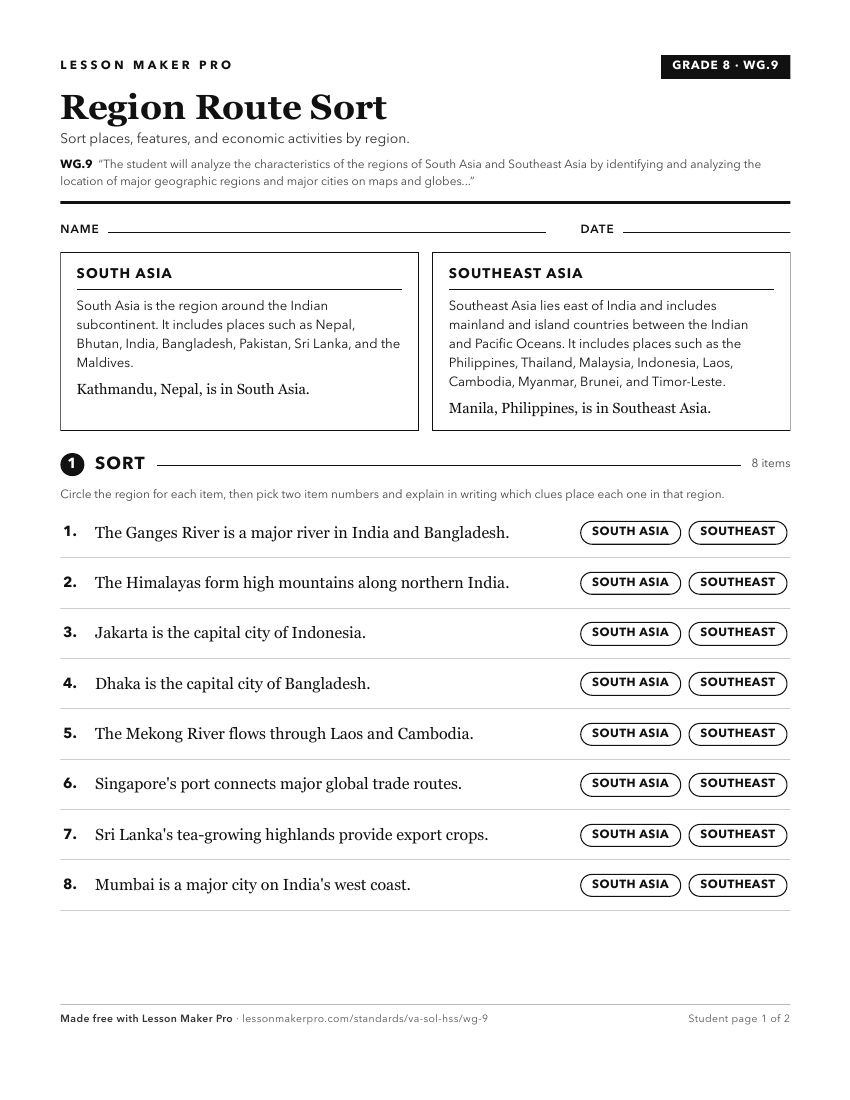
A ready-to-print activity worksheet aligned to WG.9, with an answer key for the teacher on its own page. No account needed.
PDF, US Letter, prints cleanly in black and white.
Download the worksheetKeep exploring
Related Standards
- WG.8
The student will analyze the characteristics of the regions of North Africa and Southwest Asia by
- WG.10
The student will analyze the characteristics of the East Asian region by
- WG.7
The student will analyze the characteristics of the regions of sub-Saharan Africa by
- WG.6
The student will analyze the characteristics of the regions of Russia and Central Asia by
Turn this cluster into a lesson
Grade, subject, topic, and the complete cluster are prefilled. Create one free, no account needed.
Also for this cluster:Make a WorksheetMake a QuizMake a Sub Lesson