Virginia SOL WG.6.b
The Standard
- WG.6
- The student will analyze the characteristics of the regions of Russia and Central Asia by
describing major physical and environmental features and how geography may change over time
Virginia Standards of Learning for History and Social Science · The student will analyze the characteristics of the regions of Russia and Central Asia by
Teacher's field guide
What This Standard Means
What Students Need to Do
- Students locate major landforms, waters, climate zones, and vegetation across Russia and Central Asia. They explain how natural processes and human actions change places over time.
What Mastery Looks Like
- Students can label features such as the Ural Mountains, Siberian plains, Caspian Sea, and Aral Sea on a map. They use evidence to explain changes such as desertification, melting permafrost, or shrinking lakes.
Common Misconceptions
- Students may assume all of Russia is frozen and all of Central Asia is desert. They may confuse the Aral Sea with the Caspian Sea or overlook how irrigation caused the Aral Sea to shrink.
How to Assess It
- Show before and after maps of the Aral Sea. Ask students to identify the change, name one cause, and describe one effect on people or land.
Lesson moves
Ways to Teach It
Build a relief map with clay, sand, and blue yarn to show mountains, plains, deserts, rivers, and major inland seas.
Write a claim explaining which geographic change has most affected people in the region, using two details from maps or images.
Play a map card sort matching physical features, locations, climate clues, and environmental changes across Russia and Central Asia.
Compare satellite images of melting permafrost or the shrinking Aral Sea, then list effects on nearby roads, farms, and communities.
Free download
Printable WG.6.b Worksheet
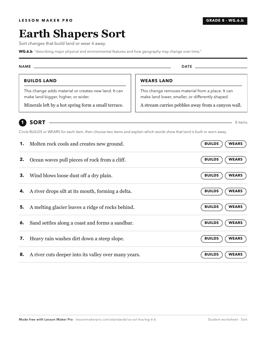
A ready-to-print activity worksheet aligned to WG.6.b, with an answer key for the teacher on its own page. No account needed.
PDF, US Letter, prints cleanly in black and white.
Download the worksheetKeep exploring
Related Standards
Turn this exact standard into a lesson
Grade, subject, topic, and the complete standard are prefilled. Create one free, no account needed.
Also for this standard:Make a WorksheetMake a QuizMake a Sub Lesson