Virginia SOL WG.10.b
The Standard
- WG.10
- The student will analyze the characteristics of the East Asian region by
describing major physical and environmental features and how geography may change over time
Virginia Standards of Learning for History and Social Science · The student will analyze the characteristics of the East Asian region by
Teacher's field guide
What This Standard Means
What Students Need to Do
- Students locate and describe East Asia’s major landforms, waters, climate patterns, and ecosystems using maps and images. They explain how plate movement, erosion, river deposits, desertification, sea-level change, and human projects can reshape places over time.
What Mastery Looks Like
- A student can accurately label major features such as the Himalayas, Gobi Desert, Yellow River, Yangtze River, Korean Peninsula, and Japanese islands. Given maps or satellite images from different dates, the student can identify a change and explain its likely cause.
Common Misconceptions
- Students may treat East Asia as having one climate or landscape. They may confuse short-term weather events with long-term geographic change, or assume only natural forces can alter land and water.
How to Assess It
- Give students a blank map and ask them to label three physical features, then explain one way a labeled place could change over time.
Lesson moves
Ways to Teach It
Build a clay relief map, then label the Himalayas, Gobi Desert, major rivers, plains, islands, and coastlines.
Write which force, plate movement, erosion, flooding, or construction, could change one mapped feature and explain the evidence.
Play a map-card match where students pair feature cards with locations, then add a change card showing how each place could shift.
Compare satellite images of the Yellow River delta from two dates and identify land gained, land lost, and likely causes.
Free download
Printable WG.10.b Worksheet
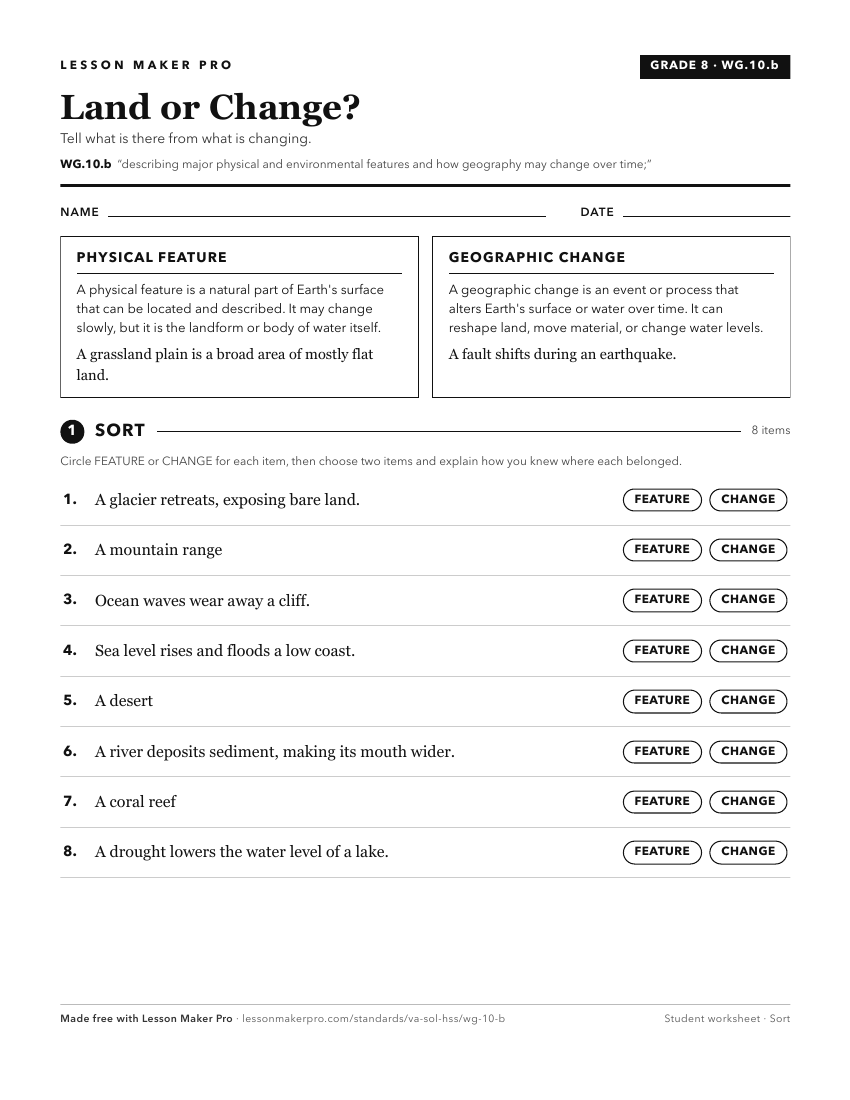
A ready-to-print activity worksheet aligned to WG.10.b, with an answer key for the teacher on its own page. No account needed.
PDF, US Letter, prints cleanly in black and white.
Download the worksheetKeep exploring
Related Standards
Turn this exact standard into a lesson
Grade, subject, topic, and the complete standard are prefilled. Create one free, no account needed.
Also for this standard:Make a WorksheetMake a QuizMake a Sub Lesson