Virginia SOL WG.5.b
The Standard
- WG.5
- The students will analyze the characteristics of the regions of Europe by
describing major physical and environmental features and how geography may change over time
Virginia Standards of Learning for History and Social Science · The students will analyze the characteristics of the regions of Europe by
Teacher's field guide
What This Standard Means
What Students Need to Do
- Students locate and describe Europe’s major landforms, waterways, climates, and vegetation zones. They explain how erosion, glaciers, climate shifts, and human actions can alter landscapes over time.
What Mastery Looks Like
- Students can label features such as the Alps, North European Plain, Rhine River, and major peninsulas on a map. They can explain one geographic change, identify its cause, and describe its effects.
Common Misconceptions
- Students may confuse Europe with the European Union or treat the region as physically uniform. They may assume landscapes change only through sudden disasters and overlook erosion, melting glaciers, dams, canals, and reclaimed land.
How to Assess It
- Give students a blank map of Europe. Ask them to label four physical features and explain how one could change over time and why.
Lesson moves
Ways to Teach It
Pairs build a relief map of Europe with clay, then mark mountains, plains, rivers, peninsulas, and surrounding seas with labeled flags.
Show two images of an Alpine glacier from different years and ask students to write what changed, what caused it, and possible effects.
Play map relay with feature cards, students place each card on a blank Europe map and give one accurate description.
Students examine the Netherlands’ polders and write how land reclamation changed the coastline, settlement patterns, and flood risks.
Free download
Printable WG.5.b Worksheet
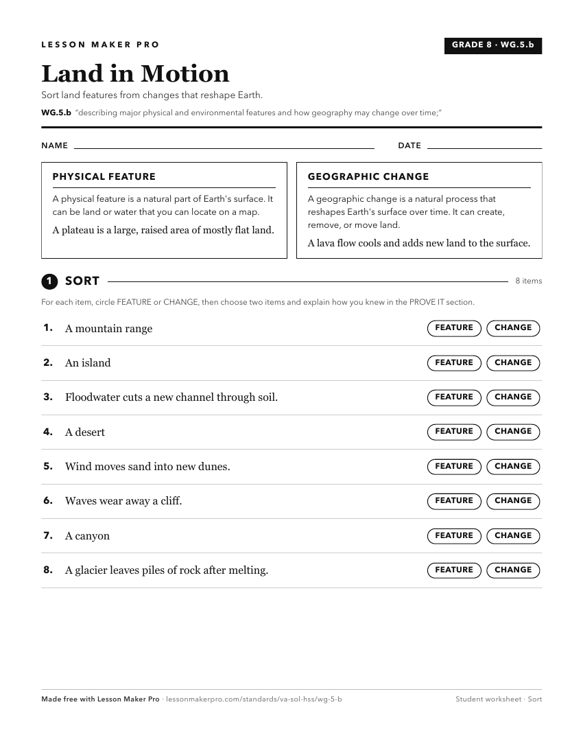
A ready-to-print activity worksheet aligned to WG.5.b, with an answer key for the teacher on its own page. No account needed.
PDF, US Letter, prints cleanly in black and white.
Download the worksheetKeep exploring
Related Standards
Turn this exact standard into a lesson
Grade, subject, topic, and the complete standard are prefilled. Create one free, no account needed.
Also for this standard:Make a WorksheetMake a QuizMake a Sub Lesson