Virginia SOL WG.4
SOL Standard (Skills Cluster)
The student will analyze the characteristics of the regions of Latin America and the Caribbean by identifying and analyzing the location of major geographic regions and major cities on maps and globes; describing major physical and environmental features and how geography may change over time; analyzing cultural influences and landscapes; and explaining important economic characteristics, including the distribution of economic activities and global trade.
Virginia Standards of Learning for History and Social Science
Cluster contents
Skills in This Standard
WG.4 is a Standards of Learning history and social science standard. These are the skills expectations under it.
- WG.4.a
identifying and analyzing the location of major geographic regions and major cities on maps and globes
- WG.4.b
describing major physical and environmental features and how geography may change over time
- WG.4.c
analyzing cultural influences and landscapes
- WG.4.d
explaining important economic characteristics, including the distribution of economic activities and global trade.
Teacher's field guide
What This Cluster Means
What Students Need to Do
- Students locate key regions, landforms, bodies of water, and cities across Latin America and the Caribbean. They connect physical geography with settlement, culture, economic activity, trade, and environmental change.
What Mastery Looks Like
- Students can label a map accurately and compare places such as the Andes, Amazon Basin, Pampas, and Caribbean islands. They can use map evidence to explain why people, industries, and trade are distributed unevenly.
Common Misconceptions
- Students may treat Latin America as one culture, place Mexico in South America, or assume all countries speak Spanish. They may confuse weather with climate or overlook how farming, mining, urban growth, and deforestation change landscapes.
How to Assess It
- Give students a blank map and ask them to label Mexico, Central America, the Caribbean, Andes, Amazon Basin, Mexico City, and São Paulo. Then ask them to explain one geographic pattern shown.
Lesson moves
Ways to Teach It
Layer clear physical, population, and economic maps, then have groups mark two patterns where geography shapes settlement or work.
Ask students to write: How might life differ in the Andes, Amazon Basin, Pampas, and a Caribbean island?
Run a map relay where teams place city, landform, climate, and resource cards on a large outline map.
Have students trace the route of coffee, bananas, copper, or oil from a Latin American producer to an international market.
Free download
Printable WG.4 Worksheet
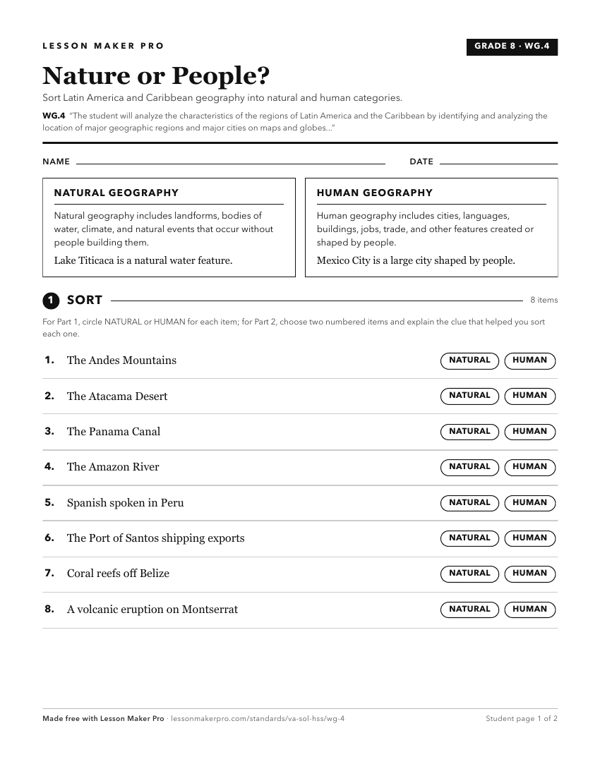
A ready-to-print activity worksheet aligned to WG.4, with an answer key for the teacher on its own page. No account needed.
PDF, US Letter, prints cleanly in black and white.
Download the worksheetKeep exploring
Related Standards
- WG.5
The students will analyze the characteristics of the regions of Europe by
- WG.8
The student will analyze the characteristics of the regions of North Africa and Southwest Asia by
- WG.3
The student will analyze the characteristics of the regions of the United States and Canada by
- WG.9
The student will analyze the characteristics of the regions of South Asia and Southeast Asia by
Turn this cluster into a lesson
Grade, subject, topic, and the complete cluster are prefilled. Create one free, no account needed.
Also for this cluster:Make a WorksheetMake a QuizMake a Sub Lesson