Oklahoma Social Studies E.P.2.3
Standard Cluster
- E.P.2
- Use interdisciplinary tools to acquire, apply, and evaluate content understanding of the four strands of social studies.
Demonstrate a mastery of geographic concepts and the use of geographic tools to understand the impact of geography on the past and present. Actively engage in asking and answering geographic questions by acquiring, organizing, and analyzing multiple sources of data and information about the world’s past and present. Compare and analyze complex maps and mapping technologies to analyze spatial patterns of human and physical environments, explaining relationships between the environment and events, past and present. Evaluate the extent to which political and economic decisions have had significant impact on human and physical environments of various places and regions.
Oklahoma Academic Standards for Social Studies (2026) · E.P.2
Cluster contents
Standards in This Cluster
E.P.2.3 is a cluster heading. These are the individual standards under it.
- E.P.2.3.A
Actively engage in asking and answering geographic questions by acquiring, organizing, and analyzing multiple sources of data and information about the world’s ...
- E.P.2.3.B
Compare and analyze complex maps and mapping technologies to analyze spatial patterns of human and physical environments, explaining relationships between the e...
- E.P.2.3.C
Evaluate the extent to which political and economic decisions have had significant impact on human and physical environments of various places and regions.
Teacher's field guide
What This Cluster Means
What Students Need to Do
- Students ask where drought, cropland, and migration clustered in Oklahoma. They compare past and present maps with crop and population data. They explain how drought, farming, and government decisions changed land and communities.
What Mastery Looks Like
- Students use dated maps and migration data to locate patterns and explain population shifts. They explain how drought and plowing led to soil loss. They judge how much farming choices and conservation policy affected the damage compared with drought alone.
Common Misconceptions
- Students may ignore a map’s date or key when comparing places. They may blame drought alone for soil loss and overlook plowing. They may read a current drought map as proof that another Dust Bowl is underway.
How to Assess It
- Give students 1930s Oklahoma drought, cropland, and soil erosion maps. Ask: “Where did cropland and severe erosion overlap? How much did farming choices contribute to the damage? Cite two map details.”
Lesson moves
Ways to Teach It
Lay a transparent 1930s Oklahoma drought map over a cropland map; mark the overlap, then compare it with a current land cover map.
Ask: “How much did decisions to plow prairie contribute to Dust Bowl soil loss compared with drought?” Require two map details.
Play evidence swap: teams use drought, cropland, and migration maps to support or challenge the claim “Drought alone caused migration.”
Open the U.S. Drought Monitor and a current USDA cropland map; ask which Oklahoma farming areas face drought now.
Free download
Printable E.P.2.3 Worksheet
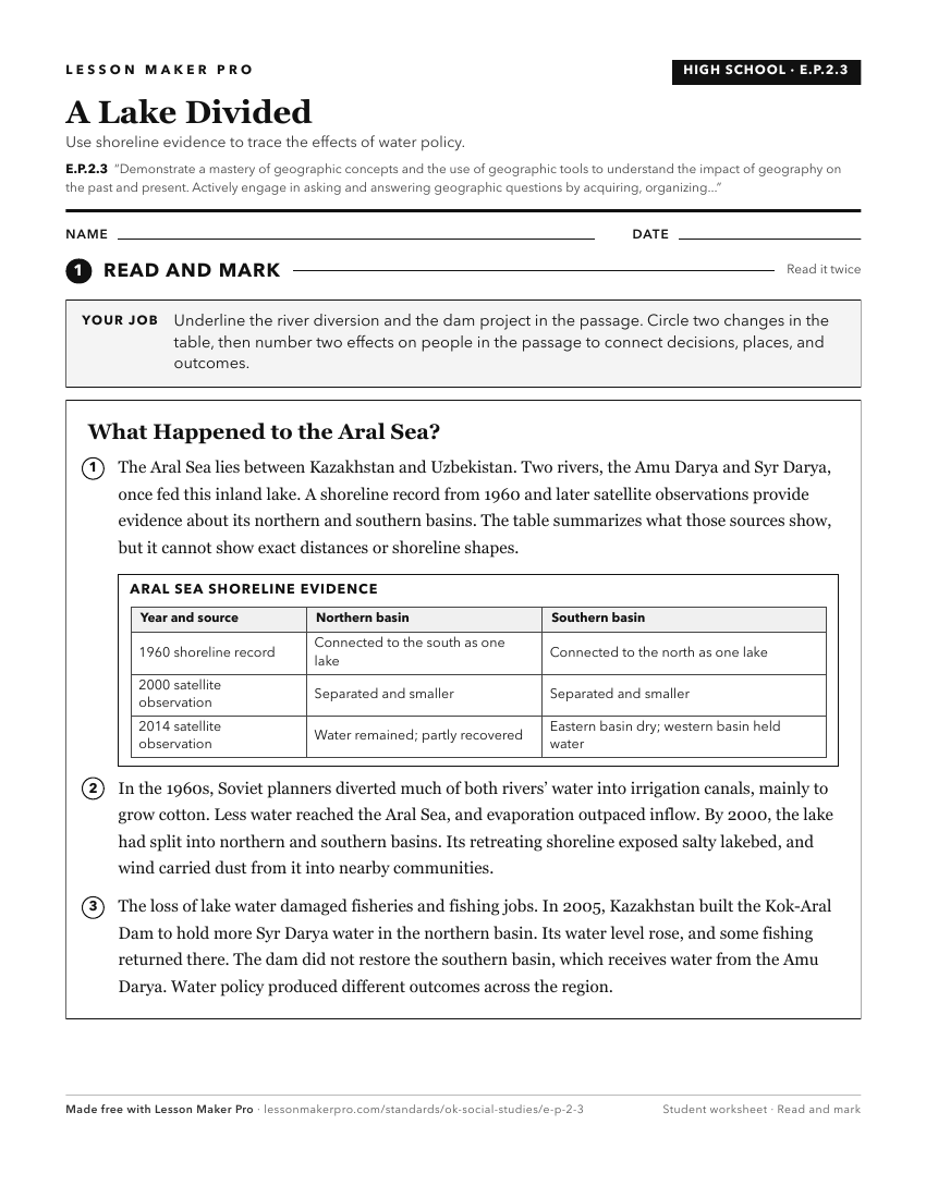
A ready-to-print activity worksheet aligned to E.P.2.3, with an answer key for the teacher on its own page. No account needed.
PDF, US Letter, prints cleanly in black and white.
Download the worksheetKeep exploring
Related Standards
- 4.P.2.3
Demonstrate a mastery of geographic concepts and the use of geographic tools to understand the impact of geography on the past and present.
- OKH.P.2.3
Demonstrate a mastery of geographic concepts and the use of geographic tools to understand the impact of geography on the past and present.
- 7.P.2.3
Demonstrate a mastery of geographic concepts and the use of geographic tools to understand the impact of geography on the past and present.
- 8.P.2.3
Demonstrate a mastery of geographic concepts and the use of geographic tools to understand the impact of geography on the past and present.
Turn this cluster into a lesson
Grade, subject, topic, and the complete cluster are prefilled. Create one free, no account needed.
Also for this cluster:Make a WorksheetMake a QuizMake a Sub Lesson