Oklahoma Social Studies 4.P.2.3
Standard Cluster
- 4.P.2
- Use interdisciplinary tools to acquire, apply, and evaluate content understanding of the four strands of social studies.
Demonstrate a mastery of geographic concepts and the use of geographic tools to understand the impact of geography on the past and present. Answer geographic questions by organizing geographic information from historical as well as contemporary perspectives. Analyze human and physical features of the nation by drawing conclusions and explaining spatial relationships of physical and human places from geographic representations. Explain how environmental factors affected historical events and continue to impact contemporary human activities.
Oklahoma Academic Standards for Social Studies (2026) · 4.P.2
Cluster contents
Standards in This Cluster
4.P.2.3 is a cluster heading. These are the individual standards under it.
- 4.P.2.3.A
Answer geographic questions by organizing geographic information from historical as well as contemporary perspectives.
- 4.P.2.3.B
Analyze human and physical features of the nation by drawing conclusions and explaining spatial relationships of physical and human places from geographic repre...
- 4.P.2.3.C
Explain how environmental factors affected historical events and continue to impact contemporary human activities.
Teacher's field guide
What This Cluster Means
What Students Need to Do
- Students use map keys and compass roses to find rivers, cities, and routes on older and current U.S. maps. They compare where people traveled and built ports, then explain how a river shaped work in the past and today.
What Mastery Looks Like
- Students identify the Mississippi as a physical feature and Memphis as a city. They use both maps to explain why cities near the river became trade hubs and why barges still stop there.
Common Misconceptions
- Students may mistake a shipping route line for a river or call a port a natural feature. They may think rivers stopped mattering once trucks and trains appeared.
How to Assess It
- Hand out an 1800s steamboat route map and a current Mississippi River port map. Ask students to circle Memphis and the river, then explain how the river helped trade then and now.
Lesson moves
Ways to Teach It
Give pairs an 1800s steamboat route map and a current port map; have them trace the Mississippi and circle Memphis.
Ask students to write why people built ports at Memphis rather than far from the river, using evidence from both maps.
Run a card sort: match river, city, steamboat route, and barge port cards to symbols on the two maps.
Show a photo of a grain barge at Memphis; students find the port on a map and label the river carrying the grain.
Free download
Printable 4.P.2.3 Worksheet
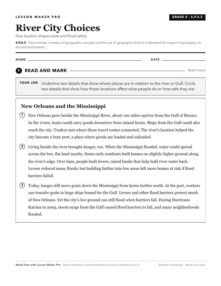
A ready-to-print activity worksheet aligned to 4.P.2.3, with an answer key for the teacher on its own page. No account needed.
PDF, US Letter, prints cleanly in black and white.
Download the worksheetKeep exploring
Related Standards
- OKH.P.2.3
Demonstrate a mastery of geographic concepts and the use of geographic tools to understand the impact of geography on the past and present.
- 7.P.2.3
The 7th Grade version of this standard.
- E.P.2.3
Demonstrate a mastery of geographic concepts and the use of geographic tools to understand the impact of geography on the past and present.
- 8.P.2.3
The 8th Grade version of this standard.
Turn this cluster into a lesson
Grade, subject, topic, and the complete cluster are prefilled. Create one free, no account needed.
Also for this cluster:Make a WorksheetMake a QuizMake a Sub Lesson