Oklahoma Social Studies AWH.C.7.1
The Standard
Locate on a historical map, ancient Rome, tracing the changing boundaries of the Roman Republic and Empire from 500 BC to 500 AD and explaining how the geographical location of ancient Rome contributed to the expansion of its political power in the Mediterranean region and beyond.
Oklahoma Academic Standards for Social Studies (2026)
Teacher's field guide
What This Standard Means
What Students Need to Do
- Find Rome on a historical map and trace how its territory changed from 500 BC to 500 AD. Explain how its position in central Italy, near the Tiber River and Mediterranean Sea, helped it expand.
What Mastery Looks Like
- A student can compare maps of early Rome, the Republic, the Empire at its height, and the Eastern Empire in 500 AD. They can point to sea routes from Italy and explain how those routes helped Rome reach other shores.
Common Misconceptions
- Students may think Rome controlled all of Italy in 500 BC. They may treat the empire’s largest borders as its borders for every period. Some think Roman rule ended everywhere when the Western Empire fell.
How to Assess It
- Give students four outline maps labeled 500 BC, 200 BC, 117 AD, and 500 AD. Have them mark Rome, trace the changing borders, and write one sentence about how its location helped expansion.
Lesson moves
Ways to Teach It
Give pairs four transparent maps dated 500 BC, 200 BC, 117 AD, and 500 AD to stack and trace the changing borders.
Ask students to write: How did sea routes from Rome help it reach Sicily and North Africa?
Hand out dated border cards and map cards; have pairs match them, then explain one clue for each match.
Use a modern Mediterranean ferry map to trace routes from Italy to Sicily and North Africa, then compare those routes with Roman expansion.
Free download
Printable AWH.C.7.1 Worksheet
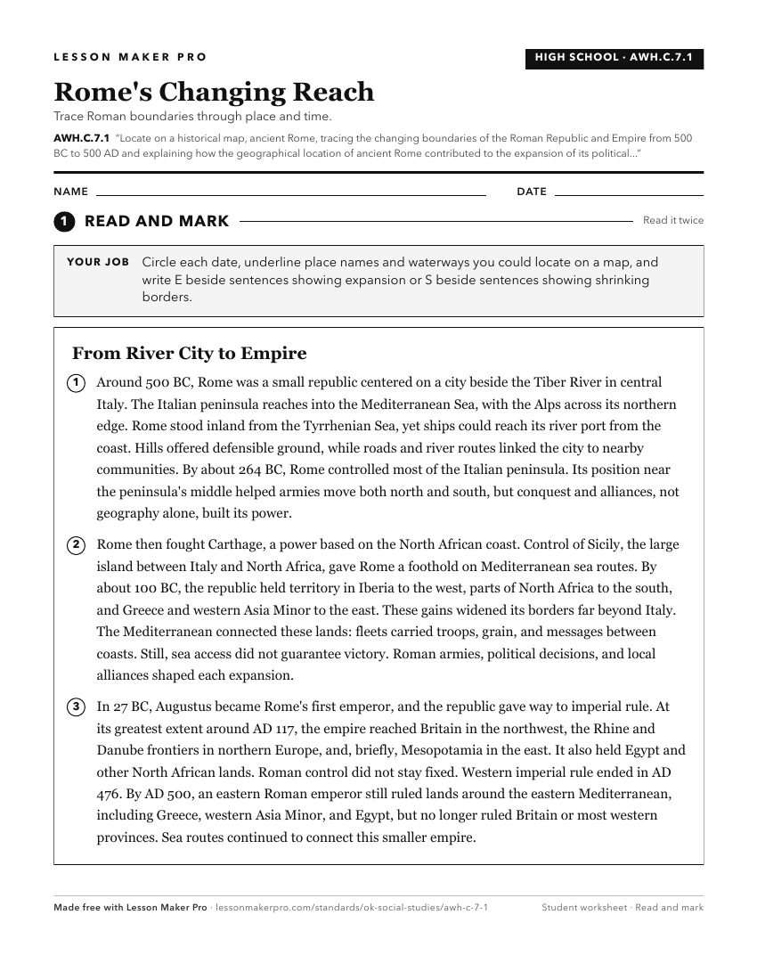
A ready-to-print activity worksheet aligned to AWH.C.7.1, with an answer key for the teacher on its own page. No account needed.
PDF, US Letter, prints cleanly in black and white.
Download the worksheetKeep exploring
Related Standards
- MWH.C.1.1.D
Evaluate the contributions of the Roman civilization to law and government by describing the Roman Republic’s development of the principle of separation of powe...
- AWH.C.2.1
Locate on a historical map the Tigris and Euphrates Rivers, identifying Sumer, Babylon, and Assyria as successive civilizations and explaining why the region is...
- AWH.C.6.1
Locate on a historical map of the Mediterranean area, Ancient Greece, tracing the extent of its influence to 300 BC, including the locations and historical sign...
- AWH.C.7.6
Explain the reasons for the growth and longevity of the Roman Empire (e.g., military organization, tactics, conquests, functions of taxes, use of a standard cur...
Turn this exact standard into a lesson
Grade, subject, topic, and the complete standard are prefilled. Create one free, no account needed.
Also for this standard:Make a WorksheetMake a QuizMake a Sub Lesson