Oklahoma Social Studies AWH.C.2.1
The Standard
Locate on a historical map the Tigris and Euphrates Rivers, identifying Sumer, Babylon, and Assyria as successive civilizations and explaining why the region is referred to as the Fertile Crescent, including a comparison of major empires (e.g., Akkad, Babylon, Assyria, Israel and Judah, Persian Empire).
Oklahoma Academic Standards for Social Studies (2026)
Teacher's field guide
What This Standard Means
What Students Need to Do
- Locate the Tigris and Euphrates and place Sumer, Babylon, and Assyria on a historical map. Explain how water and fertile soil supported farming across the crescent-shaped region. Compare where Akkad, Babylon, Assyria, Israel and Judah, and Persia ruled.
What Mastery Looks Like
- Students label both rivers and place Sumer in the south, Babylon nearby, and Assyria farther north. They explain why farming spread near the rivers. They identify Persia as a larger empire and Israel and Judah as smaller kingdoms.
Common Misconceptions
- Students may place Assyria south of Sumer or mix up the two rivers. Some think the whole region received plenty of rain, overlooking the role of river water. Others call Israel and Judah empires or assume every state ruled at the same time.
How to Assess It
- On a blank map with river lines, have students label both rivers, Sumer, Babylon, and Assyria, then shade the Fertile Crescent. Ask them to explain its name and give one difference between Persia and Israel and Judah.
Lesson moves
Ways to Teach It
Give pairs a blank map and colored pencils to trace both rivers, shade the farming arc, and label Sumer, Babylon, and Assyria.
Ask: Why did farms cluster near the rivers, and how did Persia's reach differ from that of Israel and Judah?
Print five unlabeled maps showing Akkad, Babylon, Assyria, Israel and Judah, and Persia; students match each map to a name card.
Show a modern satellite image of Iraq; students point out green farmland near the rivers and explain how water still shapes settlement.
Free download
Printable AWH.C.2.1 Worksheet
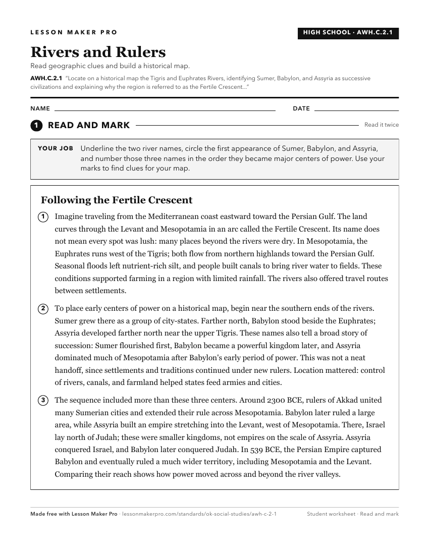
A ready-to-print activity worksheet aligned to AWH.C.2.1, with an answer key for the teacher on its own page. No account needed.
PDF, US Letter, prints cleanly in black and white.
Download the worksheetKeep exploring
Related Standards
- AWH.C.5.1
Locate on a historical map of the Mediterranean, the kingdoms of the Hittites and ancient Israel.
- AWH.C.1.6
Identify the major characteristics of civilizations (e.g., geographic boundaries and political institutions, economies that produce food surpluses, the formatio...
- 7.C.5.2.A
Examine how and why major cultural hearths developed along major river valleys and crossroads of trade (e.g., Mesopotamia's Fertile Crescent; the Nile, Indus, H...
- AWH.C.4.1
Locate on a map of the ancient Mediterranean world the center of Levantine civilizations and describe the role of Levantine peoples in transmitting Mesopotamian...
Turn this exact standard into a lesson
Grade, subject, topic, and the complete standard are prefilled. Create one free, no account needed.
Also for this standard:Make a WorksheetMake a QuizMake a Sub Lesson