Oklahoma Social Studies 7.C.5.2.A
The Standard
- 7.C.5
- Evaluate the development and impact of culture on the major regions and peoples of the Eastern Hemisphere.
- 7.C.5.2
- Define and describe the legacy of the world’s major cultural hearths on a region’s ethnic heritage and history.
Examine how and why major cultural hearths developed along major river valleys and crossroads of trade (e.g., Mesopotamia's Fertile Crescent; the Nile, Indus, Huang He and Yangtze River Valleys; the kingdoms of Ghana, Mali, and Songhai).
Oklahoma Academic Standards for Social Studies (2026) · 7.C.5.2
Teacher's field guide
What This Standard Means
What Students Need to Do
- Students locate major river valleys in Africa and Asia and the West African trade kingdoms on a map. They explain how rivers supported farming and travel, and how trade routes helped settlements grow and ideas spread.
What Mastery Looks Like
- Students can use a map to explain why farms and towns grew near a river such as the Nile or Indus. They can also explain how control of gold and salt routes helped a West African kingdom gain wealth.
Common Misconceptions
- Students may think rivers supplied only drinking water, not fertile soil or routes for travel. They may confuse the ancient Ghana Empire with the present-day country of Ghana or assume every river flooded as predictably as the Nile.
How to Assess It
- Show a map of the Nile and Mali's Saharan trade routes. Ask students to write one reason farming grew near the Nile and one reason Mali gained wealth through trade.
Lesson moves
Ways to Teach It
Give pairs a blank Africa and Asia map to trace the Nile, Niger, Indus, Huang He, Yangtze, Tigris, and Euphrates and mark Saharan routes.
Ask: Why might Nile farmers settle by the river while Mali's rulers sought control of gold and salt routes?
Use index cards with places and clues; teams match Ghana to Saharan trade, Nile to flood-fed farms, and Songhai to Niger River trade.
Show a current map of Cairo and its surrounding desert; ask students why homes and farms still cluster along the Nile.
Free download
Printable 7.C.5.2.A Worksheet
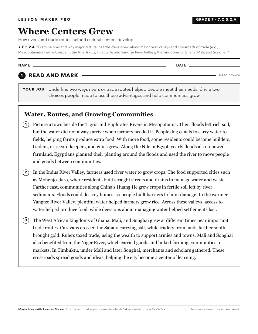
A ready-to-print activity worksheet aligned to 7.C.5.2.A, with an answer key for the teacher on its own page. No account needed.
PDF, US Letter, prints cleanly in black and white.
Download the worksheetKeep exploring
Related Standards
- AWH.C.8.7
Analyze the emergence of complex, interregional networks of trade throughout Afro-Eurasia and how trade networks led to the diffusion and evolution of ideas, re...
- AWH.C.2.1
Locate on a historical map the Tigris and Euphrates Rivers, identifying Sumer, Babylon, and Assyria as successive civilizations and explaining why the region is...
- 7.C.5
Evaluate the development and impact of culture on the major regions and peoples of the Eastern Hemisphere.
- 7.C.5.2
Define and describe the legacy of the world’s major cultural hearths on a region’s ethnic heritage and history.
Turn this exact standard into a lesson
Grade, subject, topic, and the complete standard are prefilled. Create one free, no account needed.
Also for this standard:Make a WorksheetMake a QuizMake a Sub Lesson