Oklahoma Social Studies AWH.C.4.1
The Standard
Locate on a map of the ancient Mediterranean world the center of Levantine civilizations and describe the role of Levantine peoples in transmitting Mesopotamian and Egyptian civilization.
Oklahoma Academic Standards for Social Studies (2026)
Teacher's field guide
What This Standard Means
What Students Need to Do
- Students locate the Levant on the eastern Mediterranean coast, between Egypt and Mesopotamia. They explain how Levantine traders carried goods, designs, and ideas along land and sea routes.
What Mastery Looks Like
- On a blank map, students mark the Levant, Egypt, Mesopotamia, and a route linking them. They explain how Egyptian-style carvings made in Phoenician workshops could reach Mesopotamia through trade.
Common Misconceptions
- Students may place the Levant inside Egypt or Mesopotamia instead of between them. They may think Levantine peoples only copied their neighbors, rather than passing ideas between regions.
How to Assess It
- Give students a blank Mediterranean map. Ask them to label the Levant, Egypt, and Mesopotamia, draw a trade route, and explain how an Egyptian-style carving could reach Mesopotamia.
Lesson moves
Ways to Teach It
Give pairs a map and location cards for Tyre, the Nile, and the Euphrates, then have them place the cards and draw a trade route.
Show a photo of a Phoenician ivory carving found at Nimrud and ask, "What does its design tell us about contact between regions?"
Play route relay: teams draw paths between Egypt, Tyre, and Mesopotamia, then name an object or idea that could travel each path.
Find Beirut and Alexandria on a current map, then compare how goods could move between those ports now and in ancient times.
Free download
Printable AWH.C.4.1 Worksheet
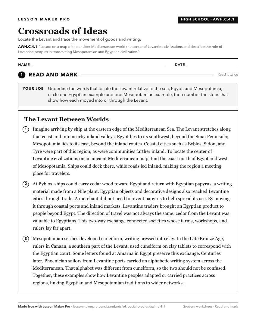
A ready-to-print activity worksheet aligned to AWH.C.4.1, with an answer key for the teacher on its own page. No account needed.
PDF, US Letter, prints cleanly in black and white.
Download the worksheetKeep exploring
Related Standards
- AWH.C.5.1
Locate on a historical map of the Mediterranean, the kingdoms of the Hittites and ancient Israel.
- OKH.C.2.1
Analyze the role of early trade centers and transportation to the development and growth of the region, by describing the
- AWH.C.2.1
Locate on a historical map the Tigris and Euphrates Rivers, identifying Sumer, Babylon, and Assyria as successive civilizations and explaining why the region is...
- AWH.C.3.1
Locate on a historical map of the Mediterranean region ancient Nubia and Egypt, including Upper and Lower Egypt.
Turn this exact standard into a lesson
Grade, subject, topic, and the complete standard are prefilled. Create one free, no account needed.
Also for this standard:Make a WorksheetMake a QuizMake a Sub Lesson