Oklahoma Social Studies OKH.C.2.1
Standard Cluster
- OKH.C.2
- Evaluate the major political and economic events that transformed the land and its people from early contact through Indian Removal and its aftermath.
Analyze the role of early trade centers and transportation to the development and growth of the region, by describing the impact of mercantile settlements, such as Chouteau’s Trading Post at Three Forks major peacekeeping goals of military posts (e.g., Fort Gibson, Fort Towson, Fort Washita) ensuring the success of forced removals and furthering the goals of western expansion.
Oklahoma Academic Standards for Social Studies (2026) · OKH.C.2
Cluster contents
Standards in This Cluster
OKH.C.2.1 is a cluster heading. These are the individual standards under it.
Teacher's field guide
What This Cluster Means
What Students Need to Do
- Students explain why trade grew where rivers met and how routes moved goods and people through the region. They describe how military posts managed conflict while supporting forced removal and U.S. expansion.
What Mastery Looks Like
- A student can locate Chouteau’s post and the three forts on a map and explain why river routes mattered. They can connect the forts’ peacekeeping goals to forced removal without describing removal as voluntary.
Common Misconceptions
- Students may overlook Native nations’ role in trade at the posts. They may treat forts as neutral protectors or assume that people chose to move west. Some see rivers as barriers rather than travel routes.
How to Assess It
- Give students a river map with Three Forks and Fort Gibson marked. Ask them to write one sentence about why trade grew at Three Forks and one about how the fort supported forced removal.
Lesson moves
Ways to Teach It
Give pairs a river map and site cards for Chouteau’s post and three forts; have them place the sites and trace travel routes.
After reading a paragraph on Fort Gibson, ask: “Who benefited from its peacekeeping, and who was forced to move?”
Match site cards for Three Forks and three forts to river, trade, and military role cards; have partners defend each match.
Use a current Oklahoma road map to find Muskogee and Fort Gibson; compare their locations with river routes on a historic map.
Free download
Printable OKH.C.2.1 Worksheet
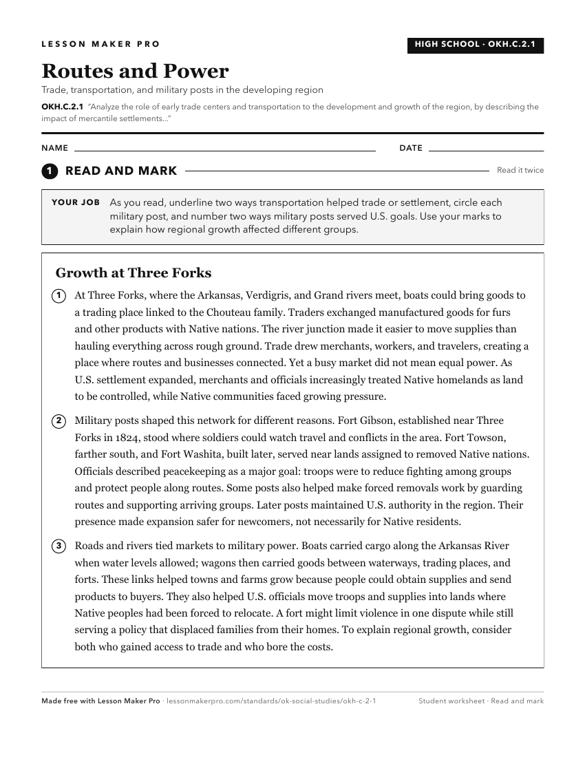
A ready-to-print activity worksheet aligned to OKH.C.2.1, with an answer key for the teacher on its own page. No account needed.
PDF, US Letter, prints cleanly in black and white.
Download the worksheetKeep exploring
Related Standards
- AWH.C.8.7
Analyze the emergence of complex, interregional networks of trade throughout Afro-Eurasia and how trade networks led to the diffusion and evolution of ideas, re...
- MWH.C.1
Analyze the impact of the patterns of ancient political, economic, and cultural development.
- 7.C.5.2.A
Examine how and why major cultural hearths developed along major river valleys and crossroads of trade (e.g., Mesopotamia's Fertile Crescent; the Nile, Indus, H...
- 8.C.13.5.B
Analyze the impact of the development of the Transcontinental Railroad on connecting agricultural goods and products to population centers and markets.
Turn this cluster into a lesson
Grade, subject, topic, and the complete cluster are prefilled. Create one free, no account needed.
Also for this cluster:Make a WorksheetMake a QuizMake a Sub Lesson