Oklahoma Social Studies AWH.C.6.1
The Standard
Locate on a historical map of the Mediterranean area, Ancient Greece, tracing the extent of its influence to 300 BC, including the locations and historical significance of architectural sites (e.g., Knossos, Periclean Athens, the Parthenon, the Acropolis).
Oklahoma Academic Standards for Social Studies (2026)
Teacher's field guide
What This Standard Means
What Students Need to Do
- Students locate Greece, Athens, and Knossos on a Mediterranean map. They trace where Greek influence reached by 300 BC and explain what key sites reveal about earlier Greek and Minoan history.
What Mastery Looks Like
- A student can mark Greek influence in Sicily, coastal Anatolia, and Egypt on a map. They can identify Knossos as a Minoan palace on Crete and explain that the Parthenon is a temple on Athens’s Acropolis.
Common Misconceptions
- Students often treat the Acropolis and the Parthenon as two separate locations. They may also assume Knossos was built during Pericles’s time, though the Minoan palace is much older.
How to Assess It
- Give students a blank Mediterranean map. Have them label Athens and Knossos, mark the Acropolis and Parthenon at Athens, shade two areas of Greek influence by 300 BC, and write one fact about each site.
Lesson moves
Ways to Teach It
Give pairs a blank Mediterranean map and colored pencils to mark Athens, Knossos, Sicily, coastal Anatolia, Egypt, and the Parthenon’s location.
Ask students to write why Athens built the Parthenon on the Acropolis and what its size suggests about the city.
Hand out Knossos, Athens, Acropolis, and Parthenon cards; teams match each to a map location and a fact, then defend one match.
Show photos of the Parthenon and a courthouse with Greek-style columns; students circle shared features and explain why architects reused them.
Free download
Printable AWH.C.6.1 Worksheet
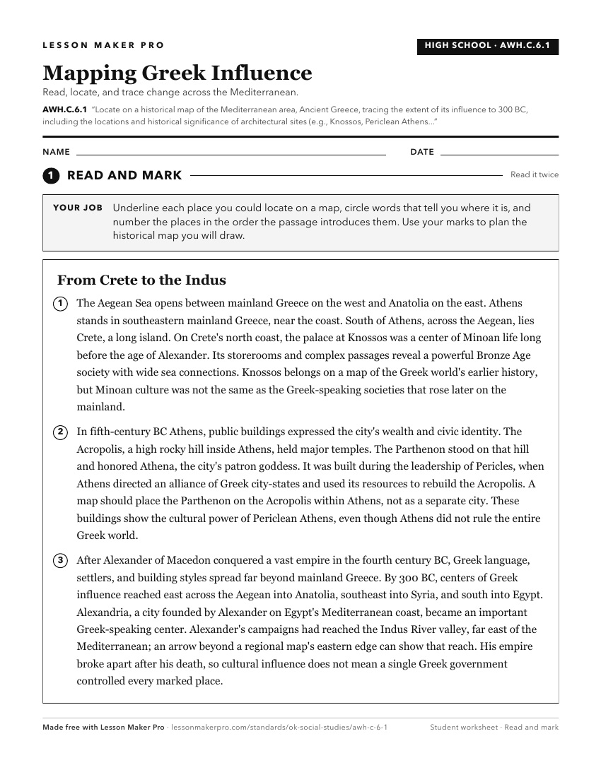
A ready-to-print activity worksheet aligned to AWH.C.6.1, with an answer key for the teacher on its own page. No account needed.
PDF, US Letter, prints cleanly in black and white.
Download the worksheetKeep exploring
Related Standards
- AWH.C.7.1
Locate on a historical map ancient Rome, tracing the changing boundaries of the Roman Republic and Empire from 500 BC to 500 AD and explaining how the geographi...
- AWH.C.5.1
Locate on a historical map of the Mediterranean, the kingdoms of the Hittites and ancient Israel.
- AWH.C.6.4
Describe the lasting impact of major accomplishments of the ancient Greeks.
- AWH.C.6.2
Explain how the geographical location of Athens and other city-states contributed to their role in maritime trade, colonies in the Mediterranean, and the expans...
Turn this exact standard into a lesson
Grade, subject, topic, and the complete standard are prefilled. Create one free, no account needed.
Also for this standard:Make a WorksheetMake a QuizMake a Sub Lesson