Oklahoma Social Studies 7.C.8.2
The Standard
- 7.C.8
- Analyze the physical and human characteristics of regions which create uniqueness and influence people’s perceptions of the Eastern Hemisphere.
Explain and summarize how common physical or human characteristics can link as well as divide regions (e.g., manmade canals linking European trading centers, the Sahara Desert as both a physical and cultural division of the African continent, religious and political differences leading to armed conflict in Southwest Asia).
Oklahoma Academic Standards for Social Studies (2026) · 7.C.8
Teacher's field guide
What This Standard Means
What Students Need to Do
- Students show how deserts, canals, beliefs, and borders can connect some places and separate others. They use a map or short source to explain who is linked, who is divided, and why.
What Mastery Looks Like
- A student can explain how the Sahara makes travel hard while trade routes still connect communities across it. They can show how the Suez Canal connects two seas but separates mainland Egypt from the Sinai Peninsula. They can describe a political dispute without blaming conflict on a whole religion.
Common Misconceptions
- Students may treat deserts as impossible to cross or assume a canal only connects places. They may assume everyone in Southwest Asia has the same beliefs or that religious differences alone cause wars.
How to Assess It
- Give students a map labeled Mediterranean Sea, Red Sea, mainland Egypt, and Sinai Peninsula. Ask: “How does the Suez Canal connect places and separate land? Name both effects.”
Lesson moves
Ways to Teach It
On a North Africa map, trace a Marrakesh to Timbuktu caravan route with yarn, then mark where the Sahara made travel hard.
Ask: “How does the Suez Canal help ships but change travel on land?” Have students name two places on a map.
Give pairs cards labeled Sahara, Suez Canal, shared religion, and disputed border; sort them into links, divides, or both.
On a world map, trace cargo routes from Mumbai to Rotterdam through Suez and around Africa, then compare their lengths with string.
Free download
Printable 7.C.8.2 Worksheet
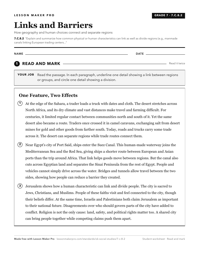
A ready-to-print activity worksheet aligned to 7.C.8.2, with an answer key for the teacher on its own page. No account needed.
PDF, US Letter, prints cleanly in black and white.
Download the worksheetKeep exploring
Related Standards
- 7.C.5.2.B
Explain that complex societies and civilizations in different regions share common characteristics (e.g., agricultural innovations, written language, and early ...
- 7.C.8
Analyze the physical and human characteristics of regions which create uniqueness and influence people’s perceptions of the Eastern Hemisphere.
- 6.C.7.3
Identify examples of man-made regions sharing common characteristics related to culture, human settlement, history, economic activities, and governments (e.g., ...
- MWH.C.1.2.A
Explain different ways in which societies interact across regions (e.g., trade, exploration, colonization) resulting in cultural diffusion (e.g., the Silk Road,...
Turn this exact standard into a lesson
Grade, subject, topic, and the complete standard are prefilled. Create one free, no account needed.
Also for this standard:Make a WorksheetMake a QuizMake a Sub Lesson