Oklahoma Social Studies 7.C.1.2
The Standard
- 7.C.1
- Analyze data from a geographic perspective using the skills and tools of geography.
Reinforce geographic skills through the routine practice and use of geographic tools (e.g., thematic maps, graphs, charts, satellite imagery, GIS technologies) in order to draw conclusions and make predictions from geographic data.
Oklahoma Academic Standards for Social Studies (2026) · 7.C.1
Teacher's field guide
What This Standard Means
What Students Need to Do
- Students read legends, labels, and scales on maps and graphs. They compare geographic data, explain a pattern, and use it to make a prediction.
What Mastery Looks Like
- A student can find the driest counties on a drought map and check rainfall trends in a graph. They use both sources to explain which county may face worsening drought.
Common Misconceptions
- Students may assume darker map colors always mean more without checking the legend. They may mistake one low rainfall reading for a trend or make a prediction without citing data.
How to Assess It
- Give students a drought map and a rainfall graph. Ask: Which county is most likely to face worsening drought next month? Use one detail from each source.
Lesson moves
Ways to Teach It
Give pairs a printed drought map and rainfall graph; have them shade at-risk counties and predict where dry conditions may spread.
Show two satellite images of a river before and after heavy rain; ask, 'What changed, and which nearby areas might flood next?'
Run a map-match relay: teams pair four population maps with matching bar charts and explain one match using the legend.
Open a local flood-risk map, locate the school, and ask students which nearby roads might close after heavy rain.
Free download
Printable 7.C.1.2 Worksheet
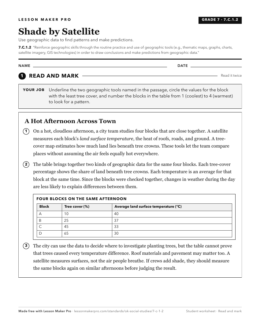
A ready-to-print activity worksheet aligned to 7.C.1.2, with an answer key for the teacher on its own page. No account needed.
PDF, US Letter, prints cleanly in black and white.
Download the worksheetKeep exploring
Related Standards
- 6.C.1
Analyze data from a geographic perspective using the skills and tools of geography.
- WG.C.1.2
Utilize geographic skills to understand and analyze the spatial organization of people, places, and environments on the Earth’s surface.
- 6.C.1.2.C
Use different types of maps, graphs, charts, and geographic tools, such as satellite imagery and Geographic Information System (GIS) technology to draw conclusi...
- 7.C.1
Analyze data from a geographic perspective using the skills and tools of geography.
Turn this exact standard into a lesson
Grade, subject, topic, and the complete standard are prefilled. Create one free, no account needed.
Also for this standard:Make a WorksheetMake a QuizMake a Sub Lesson