Oklahoma Social Studies 6.C.1.1
The Standard
- 6.C.1
- Analyze data from a geographic perspective using the skills and tools of geography.
Describe geography as a field of inquiry which answers “the why of where” by examining both physical and human geography using spatial thinking skills.
Oklahoma Academic Standards for Social Studies (2026) · 6.C.1
Teacher's field guide
What This Standard Means
What Students Need to Do
- Students use maps to spot where things cluster and how far apart they are. They use landforms, water, roads, and settlements to explain why places are where they are.
What Mastery Looks Like
- Given a map of rivers, hills, roads, and towns, a student points out a pattern. They name one physical feature and one human feature that might explain it, without treating the map as proof of a single cause.
Common Misconceptions
- Students may describe where a town is but never explain why it might be there. They may call roads physical features or assume every town near a river was built for the same reason.
How to Assess It
- Give students a map showing a river, hills, roads, and three towns. Ask: 'Where do the towns cluster, and what physical and human clues might explain that pattern?'
Lesson moves
Ways to Teach It
Give pairs tracing paper maps of rivers and roads; have them overlay a town map and circle two clusters.
Show a map of towns along a river and ask, 'What could the river explain, and what could roads explain?'
Give groups river, hill, road, and market cards; have them sort physical from human clues and explain a town's location.
Use a local map to mark stores along major roads, then discuss how road access might shape their locations.
Free download
Printable 6.C.1.1 Worksheet
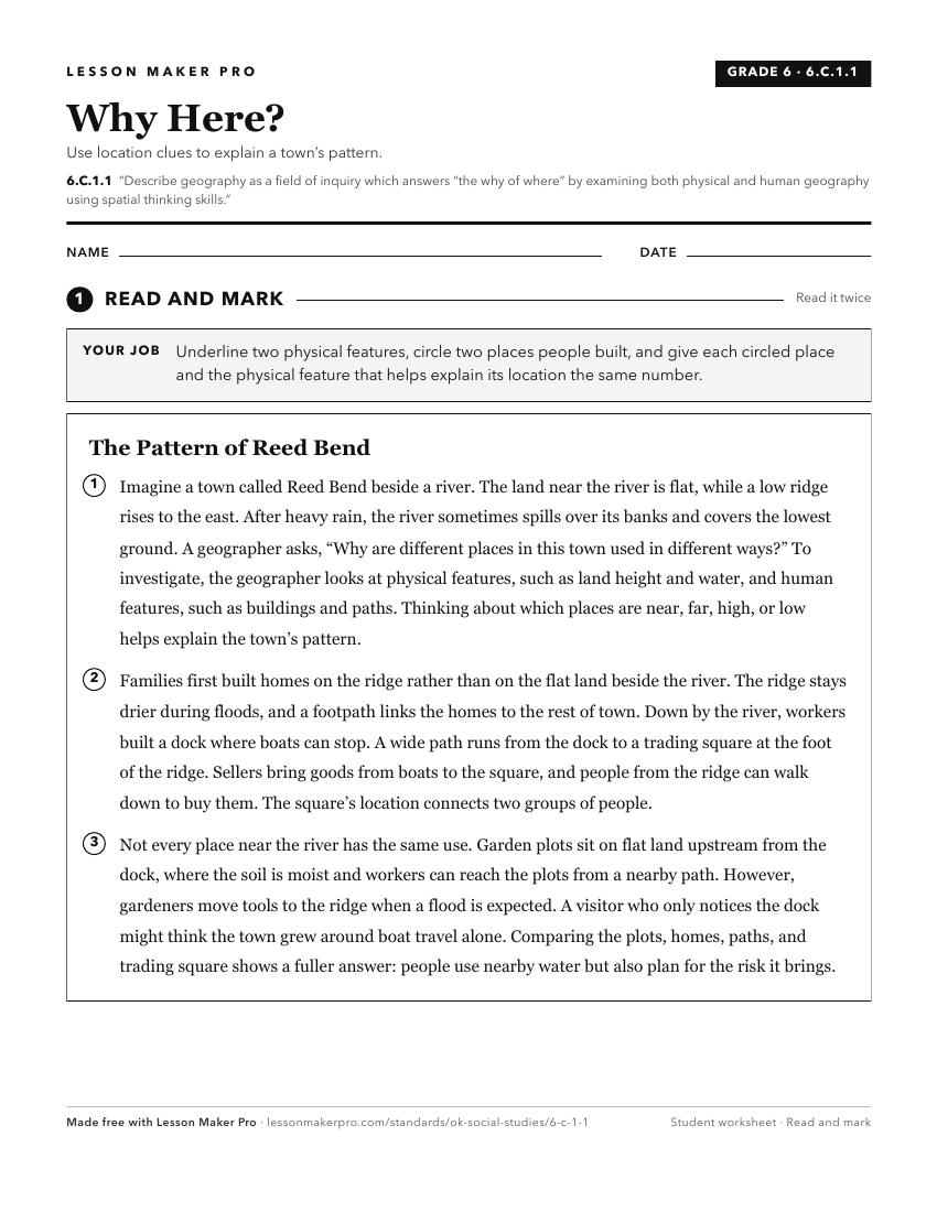
A ready-to-print activity worksheet aligned to 6.C.1.1, with an answer key for the teacher on its own page. No account needed.
PDF, US Letter, prints cleanly in black and white.
Download the worksheetKeep exploring
Related Standards
- 6.C.1
Analyze data from a geographic perspective using the skills and tools of geography.
- WG.C.1.2
Utilize geographic skills to understand and analyze the spatial organization of people, places, and environments on the Earth’s surface.
- K.C.3
Identify and examine the basic concepts of physical and human geography.
- 7.C.1
Analyze data from a geographic perspective using the skills and tools of geography.
Turn this exact standard into a lesson
Grade, subject, topic, and the complete standard are prefilled. Create one free, no account needed.
Also for this standard:Make a WorksheetMake a QuizMake a Sub Lesson